Category «Blog Posts»

Airport Mapping & AMDB: Meeting FAA DO-200 Standards for Aeronautical Data

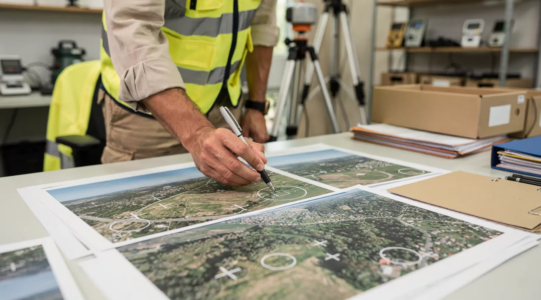
An aerodrome survey captures precise geospatial data for all airport infrastructure including runways, taxiways

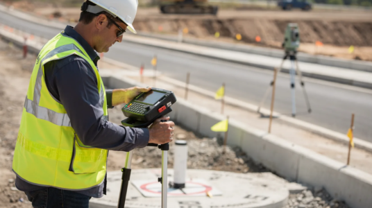
Airport mapping accuracy standards demand survey-grade Ground Control Points, or GCPs, validated through rigorous field and quality-control processes. CompassData collects GCPs using dual-frequency GPS and GNSS receivers, total stations, and survey methods such as static, rapid-static, and real-time kinematic, or RTK, techniques selected for aerodrome conditions. This field-proven methodology supports airport GIS, engineering, aerodrome mapping, …

Navigating ASPRS and NSSDA Standards for Aerial LiDAR and Orthoimagery

NSSDA compliance provides a statistical framework for reporting positional accuracy of geospatial data

ASPRS Positional Accuracy Standards for Digital Geospatial Data, Edition 2, Version 2 (2024), provide a modern framework for measuring and reporting the horizontal and vertical accuracy of digital geospatial products. For aerial LiDAR and orthoimagery projects, compliance depends on more than a general claim of accuracy. Firms must validate results against independently surveyed, higher-accuracy checkpoints …

Defensible Data: Why Independent QA/QC Matters in Legal and Regulatory Mapping

ASPRS accuracy compliance ensures that geospatial data meets industry-standard positional tolerances

Independent geospatial accuracy verification confirms whether mapping and survey data meet their stated positional standards through a qualified third-party audit. When a project depends on the exact location of a boundary, utility asset, roadway feature, or elevation surface, “close enough” is not enough. Every coordinate must be able to withstand technical review, regulatory scrutiny, and …

GCP Archive vs. New Collect: Choosing the Right Ground Control Strategy

Buying from a GCP archive is cost-effective for projects where existing points meet accuracy requirements

Archive GCPs are well suited to budget-conscious projects that need a fast turnaround, while new collection delivers site-specific accuracy through CompassData’s field-proven process. New collections use dual-frequency GPS and GNSS receivers, total stations, and methods such as static, rapid-static, and RTK surveys. Each point is cross-checked and validated, making new collection an ideal choice when …

Aurora Water Transmission and Distribution GIS Updates Project

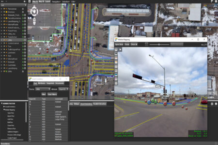
mobile-mapping-07

Case Study: How Mobile Mapping Helped Aurora Water Map 160+ Intersections Safely and Under Budget Utility departments face a hard tradeoff every time they need to survey underground infrastructure in a busy intersection: send crews into live traffic to get accurate data, or accept gaps in the GIS record. Aurora Water’s Transmission and Distribution GIS …

Puerto Rico Launches Mobile Mapping Initiative for Disaster Resilience

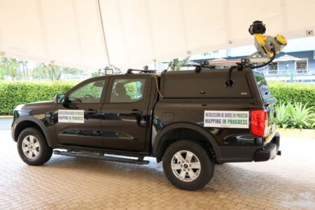
Mobile Mapping for Disaster Resilience: What Puerto Rico’s $7.2M Initiative Tells Us About the Future of Geospatial Data When a hurricane, flood, or wildfire hits, the agencies coordinating the response are only as fast and as accurate as the data underneath them. That’s the thinking behind a major new mobile mapping initiative just announced in …

Chat Support

Enter your details to chat.