Customized Maps Built for Your Mission
Accurate, current, and fully customized basemaps delivered to support your organization — online and offline, in the field or behind the firewall.


Accurate, current, and fully customized basemaps delivered to support your organization — online and offline, in the field or behind the firewall.

CompassData’s Custom Basemap Development service delivers tailored mapping solutions built around your operational requirements. Whether you’re supporting mission planning, GPS-based tracking, utility management, law enforcement, or defense operations, we produce custom basemaps from the ground up — using ground control, open-source data, commercially available imagery, and customer-furnished datasets — and deliver them directly into your secure environment. No waiting on your GIS department. No outdated imagery. Just accurate, current maps that empower mission success from day one.
The CompassData Basemap product is designed to display relevant data behind a customer’s working layers, built specifically for end-user operational requirements. Delivered solutions may include road systems, terrain, land uses, point elements, and other geographic layers — all tailored to your workflow and ready to support decisions in the field.
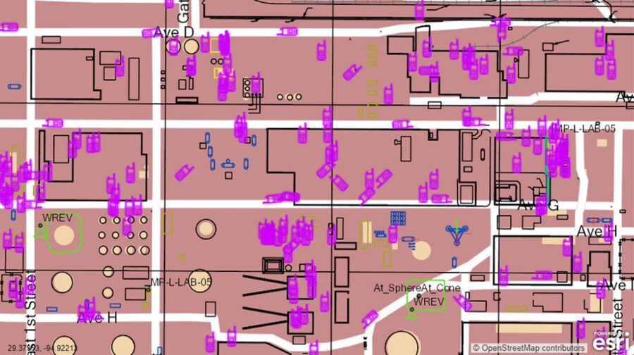
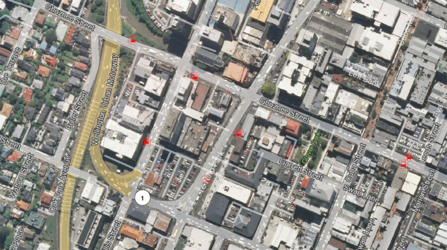

CompassData produces custom basemaps for organizations across a wide range of sectors where accurate, current mapping is mission-critical.
Infrastructure mapping, asset management, field operations support
Site-specific and regional mapping for exploration, production, and logistics
Operational area mapping for planning, coordination, and situational awareness
Secure basemap delivery for mission planning and field operations behind the firewall
TrackingCustom basemaps to support fleet and asset tracking solutions in any environment
Whether you need country-wide coverage or a targeted area of interest, CompassData has the data, the tooling, and the expertise to deliver — fast, secure, and built to your exact requirements.
Custom basemaps are built from a combination of global ground control, open-source data, commercially available imagery, and customer-furnished datasets, tailored to your area of interest and can include road systems, terrain, land use, and other operational layers.
Turnaround depends on scope — CompassData can deliver basemaps for entire countries in weeks, and small areas of interest in as little as a few days.
Basemaps are delivered in ArcGIS formats, portable to the point of decision, and can be deployed behind the firewall for organizations with strict security requirements.
Yes. Every custom basemap includes a predesigned maintenance schedule, so your data stays current rather than going stale after the initial delivery.
CompassData builds custom basemaps for utility companies, energy providers, law enforcement, GPS-based tracking and fleet operations, and DoD organizations that need secure, mission-specific mapping.
No, on premise basemaps are possible. Designed to your requirements with individual layers and view levels, which can be customized for different teams.