AI-Enhanced Detection of Damaged Components via RGB & Thermal Imaging
Inspection-Grade Aerial Data to Support Maintenance & Capital Planning
High-Resolution Mapping to Support GIS Integration & Network Planning
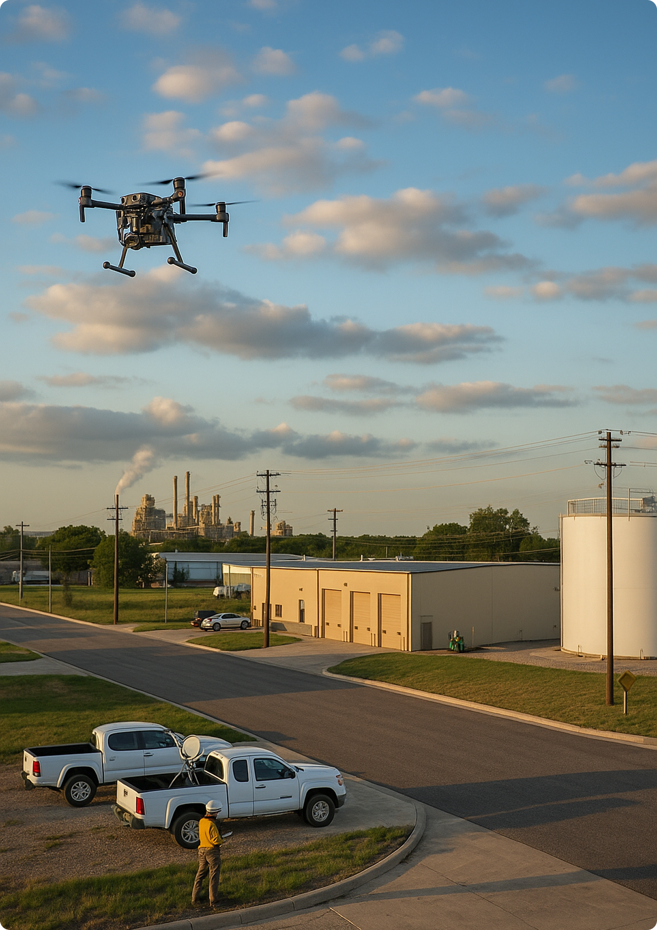
NextEra Inspection for Transmission Line Damage Assessment from Natural Disasters
Our Process
Collect
Under predefined flight plans & collection parameters, our UAV operations adhere to ASPRS and FAA-compliant protocols to collect imaging.
Process
Images are orthorectified & transformed into geospatially aligned datasets including:
2D Orthophotos
Digital Elevation Models
Point Clouds
3D Derivatives
Verify
Each dataset is independently validated against survey-grade Ground Control Points (GCPs) & tied into pre-existing National Geodetic Survey (NGS) benchmarks to ensure spatial consistency.
Ship
Final deliverables are packaged to meet your format requirements.
Success Story
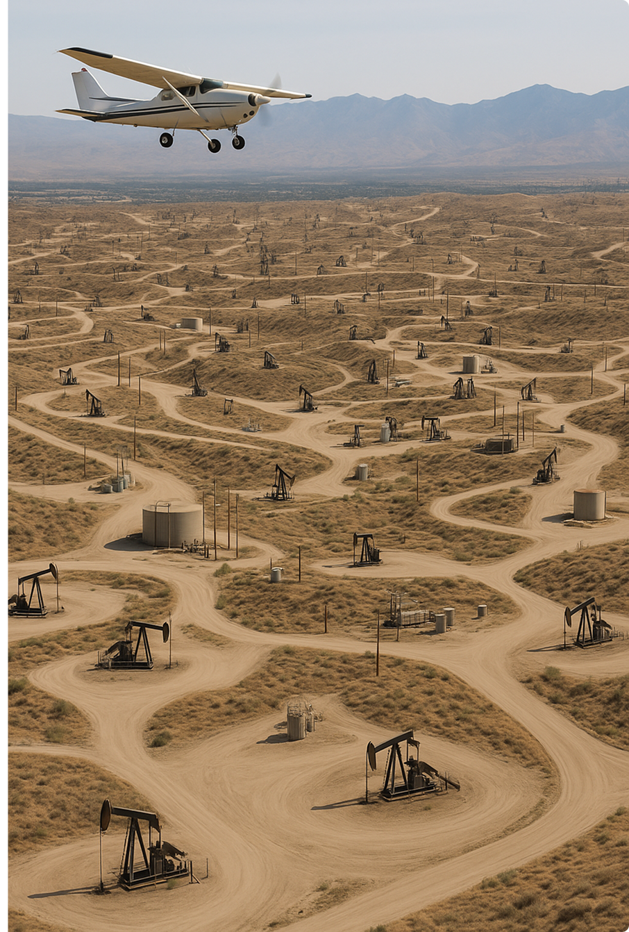
California Oil Field Aerial Mapping & Thermal Analysis
Quarterly LiDAR, RGB, and Thermal Imagery Over 24 Square Miles
CompassData, in partnership with KCSI Aerial Patrol, has been delivering quarterly aerial mapping and thermal imagery for Sentinel Peak Resources across major oil fields in California’s San Joaquin Valley and Los Angeles Basin since 2019. Covering over 24 square miles, this long-term project combines LiDAR, RGB, thermal, DSM/DTM, and change detection data to support asset management and field operations.
Using state-of-the-art equipment such as the RIEGL VUX240, WaldoAir XCAMB RGB + NIR, and radiometric thermal sensors, CompassData ensures high-resolution orthomosaics and accuracy reports for each collection. Aerial GNSS control with Trimble RTK systems complements manned aircraft operations for maximum geospatial precision.
Each project cycle includes detailed reports, change detection analytics, and thermal performance insights reviewed by Sentinel Peak’s operations and engineering teams. All data is delivered to strict industry specifications and reviewed collaboratively to ensure quality and compliance.
This ongoing collaboration demonstrates CompassData’s ability to support oil and gas infrastructure mapping, offering reliable, safe, and IOGP-compliant aerial services with consistent, on-time, and cost-effective results.