Verify Elevation Data Accuracy — Automatically
A simple, fast, and complete workflow solution to automatically test and verify the accuracy of elevation data products — built for every stage of the survey and mapping pipeline.


A simple, fast, and complete workflow solution to automatically test and verify the accuracy of elevation data products — built for every stage of the survey and mapping pipeline.
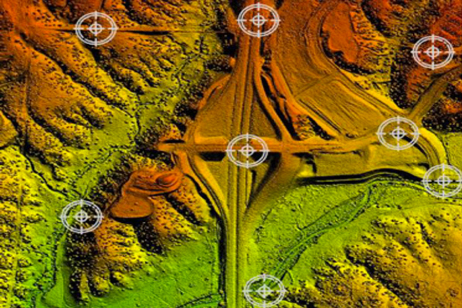
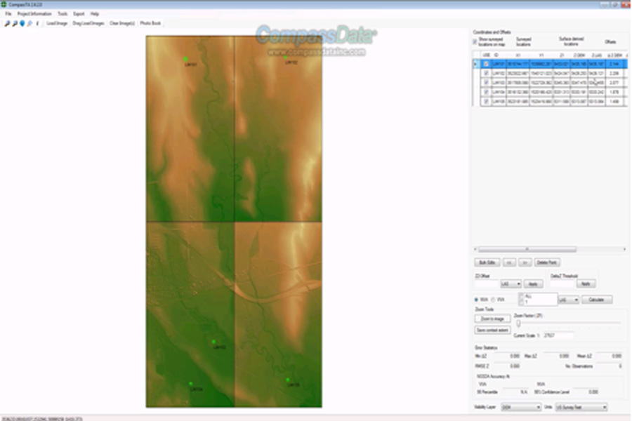
CompassTA™ is CompassData’s dedicated accuracy verification platform for elevation data products. Whether you’re validating LiDAR point cloud data, DEM products, or other raster elevation datasets for government contracts, commercial surveys, or infrastructure projects, CompassTA gives you a proven, standards-compliant workflow to verify your data with confidence — without the complexity or cost of traditional verification methods. We’re confident enough in what CompassTA delivers to offer every new user a full 14-day free trial. No credit card required. No watered-down demo environment. Just the complete platform, running against your real data, from day one.
Flexible Elevation Data Verification
CompassTA handles LiDAR point cloud data, DEM products, and other raster elevation datasets in a single workflow — no switching between tools, no manual workarounds. Built to accommodate the full range of elevation data types your team works with.
Standards-Based Reporting
Generate comprehensive, audit-ready reports that meet the accuracy and compliance standards your clients and reviewers require. Clear, consistent outputs that stand up to scrutiny at every level of the project.
Cost-Effective Verification
Purpose-built tooling means you’re not overpaying for features you don’t need. CompassTA delivers enterprise-grade accuracy verification at a fraction of the cost of traditional alternatives — without sacrificing rigor or reliability.
Auto Extraction of Elevations
CompassTA automates the extraction of elevation values directly from your data, eliminating manual measurement steps and reducing the risk of human error. Faster results, greater consistency, and a streamlined path to your final report.
Shared Analytics
Collaborate across your team with shared analytics and results. CompassTA keeps everyone working from the same verified data — planners, producers, QA reviewers, and clients — so nothing gets lost in translation between project stages.
Confirm elevation data meets project accuracy requirements before committing to a dataset
Validate data products against compliance standards before client delivery
Receive independently verified, report-backed elevation data you can trust
Work from data you know has been checked, documented, and cleared
Your free trial isn’t a demo environment or a watered-down preview. It’s the full CompassTA platform — complete with standards-compliant analysis, comprehensive reporting, and verification tools built for elevation data workflows. Start with your own data, see real results, and know exactly what you’re getting before you commit.
CompassTA™ is CompassData's dedicated accuracy verification platform for elevation data. It gives survey, mapping, and GIS teams a standards-compliant workflow to test and verify elevation datasets without the cost or complexity of traditional verification methods.
CompassTA™ handles LiDAR point cloud data, DEM (digital elevation model) products, and other raster elevation datasets in a single workflow, so you don't need to switch between tools for different data types.
Yes. New users get a full 14-day free trial of the complete platform — not a limited demo — with no credit card required, so you can test it against your own real project data from day one.
Yes. CompassTA™ generates comprehensive, audit-ready reports built to meet the accuracy and compliance standards required by clients, internal processing teams, reviewers, and government contracts.
CompassTA™ supports every stakeholder in the elevation data workflow — planners confirming that the data meets project requirements, producers validating deliverables before client handoff, and customers and end users who need independently verified, documented data they can trust and in a tracable quality report.