state of the art sensors for precise measurements
Advanced Aerial LiDAR & Imagery Solutions
From flight to final data: LiDAR services to power your project’s success.


From flight to final data: LiDAR services to power your project’s success.

We provide advanced LiDAR mapping solutions that deliver geo-referenced data for your use-case. Our expertise ensures accurate and efficient data collection, processing, and analysis to support your project’s success.
Our suite of LiDAR services include:
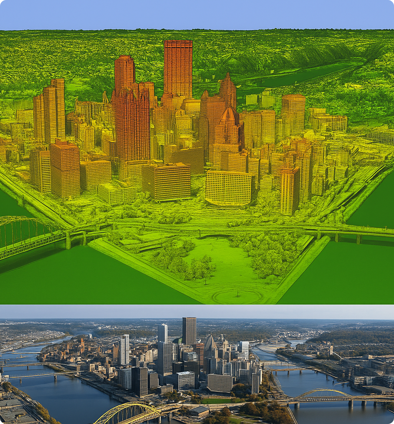
Using advanced aerial systems, we capture LiDAR data along with nadir and oblique imagery in a single, efficient flight—minimizing the project time and maximizing coverage of your Area of Interest (AOI).
Our LiDAR technology enables the creation of precise bare earth models and detailed elevation datasets, which are critical for infrastructure planning, environmental analysis, and geospatial engineering.
The collected data can be processed into multiple high resolution geospatial products, including:

Our post-processing services are designed to deliver analysis ready geospatial datasets. Our in-house team of experienced professionals ensure every LiDAR deliverable undergoes rigorous Quality Assurance and Quality Control to meet or exceed industry standards.
Our workflow handles all critical LiDAR attributes, including:
Whether the goal is detailed terrain modeling, vegetation analysis, or 3D infrastructure mapping, we deliver clean datasets optimized for your needs.
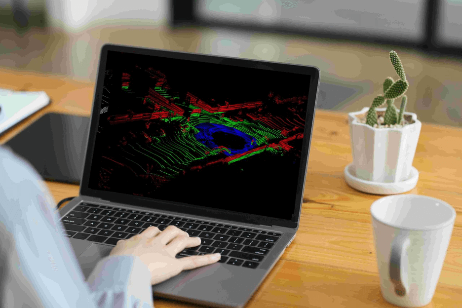
Review the project’s goals and deliverables to ensure proper planning.
Analysis of the Area of Interest (AOI). Based on the scope and terrain, our team selects the optimal aerial platform drone (UAV) or crewed aircraft.
Guided by a comprehensive safety and quality assurance checklist to ensure accurate, reliable results. Once flight parameters are finalized, our field crew deploys and surveys ground control targets using methods aligned with the American Society for Photogrammetry and Remote Sensing Standards.
Meticulous planning and execution guarantee survey-grade accuracy and compliance with industry benchmarks ensuring your geospatial data is both accurate and actionable.
Final deliverables to meet customer requirements and packaged to integrate smoothly into specific customer workflows.
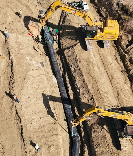
CompassData, Inc. completed one of the largest land surveys in Colorado history, spanning over 120 miles from Pueblo to Lamar across five counties. This critical project supported the Fryingpan-Arkansas (Fry-Ark) Water Reclamation Project, a massive infrastructure effort delivering clean water from the western slopes of the Continental Divide to the Arkansas River Valley.
As part of this strategic initiative, CompassData provided high-precision boundary mapping for water transmission pipelines, identifying easements and legal limits vital for construction and maintenance. The survey also revealed key environmental insights, including elevated cancer risks in counties lacking Reverse Osmosis (RO) treatment—highlighting the urgent need for clean water access.
Using advanced drone mapping, LiDAR scanning, and PLSS corner upgrades, CompassData addressed the complexity of surveying through 16 diversion structures and 9 tunnels across rugged terrain. The result: reliable, GIS-ready data that empowers sustainable water planning and supports communities facing groundwater contamination.
This project reinforces CompassData’s leadership in large-scale geospatial surveys, right-of-way (ROW) mapping, and environmental infrastructure solutions across Colorado and the western U.S
Get accurate, actionable outputs from your data.
CompassData provides end-to-end LiDAR services, including data collection with state-of-the-art sensors, flight and strategic planning, photogrammetry processing, data refinement, remote sensing, and vectorization for GIS applications.
LiDAR data can be processed into Digital Elevation Models (DEMs), classified point clouds, and contour maps, depending on your project's needs. CompassData can combine the Lidar with an imagery acquisition and provide an orthorectified image.
CompassData selects the optimal aerial platform for each project — drone (UAV) or crewed aircraft — based on the size and terrain of the area of interest, capturing LiDAR alongside nadir and oblique imagery in a single flight.
Deliverables retain critical attributes such as intensity values, return numbers, GPS timestamps, and flight line information, so the data is ready for terrain modeling, vegetation analysis, or 3D infrastructure mapping.
Ground control targets are surveyed using methods aligned with American Society for Photogrammetry and Remote Sensing (ASPRS) standards, and every deliverable goes through rigorous in-house QA/QC before it ships.