the difference is in the details
Satellite Imagery Accuracy Enhanced by Data Processing Expertise
Get the most out of your Satellite Imagery.


Get the most out of your Satellite Imagery.

Leverage cutting-edge satellite imagery services tailored for diverse geospatial applications, powered by multi-sensor technology and proprietary datasets.
We deliver actionable insights for industries including:
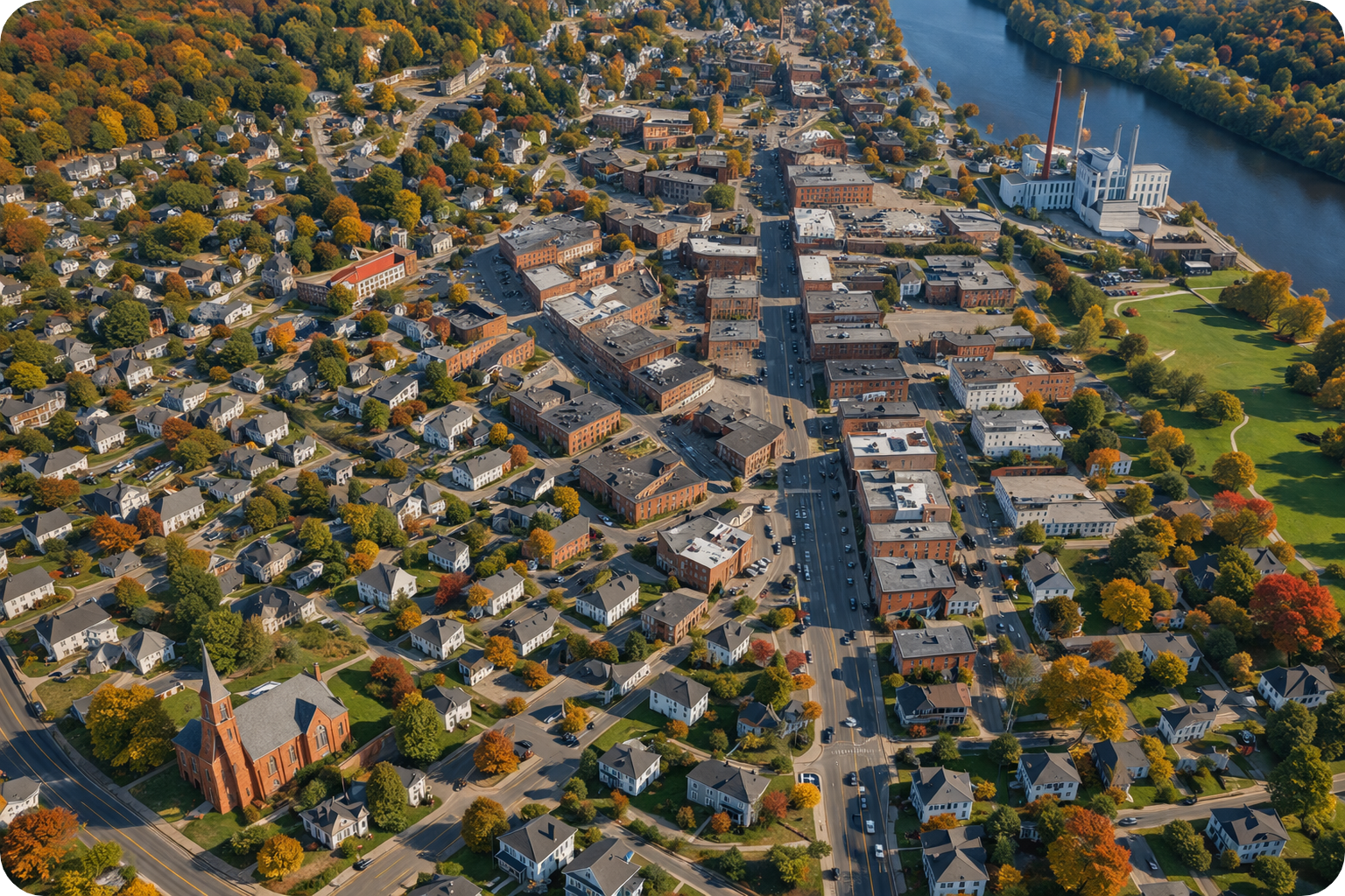
Our satellite imagery solutions facilitate the creation of orthomosaics, along with auto-correlated Digital Elevation Models (DEMs).
Key Features Include:
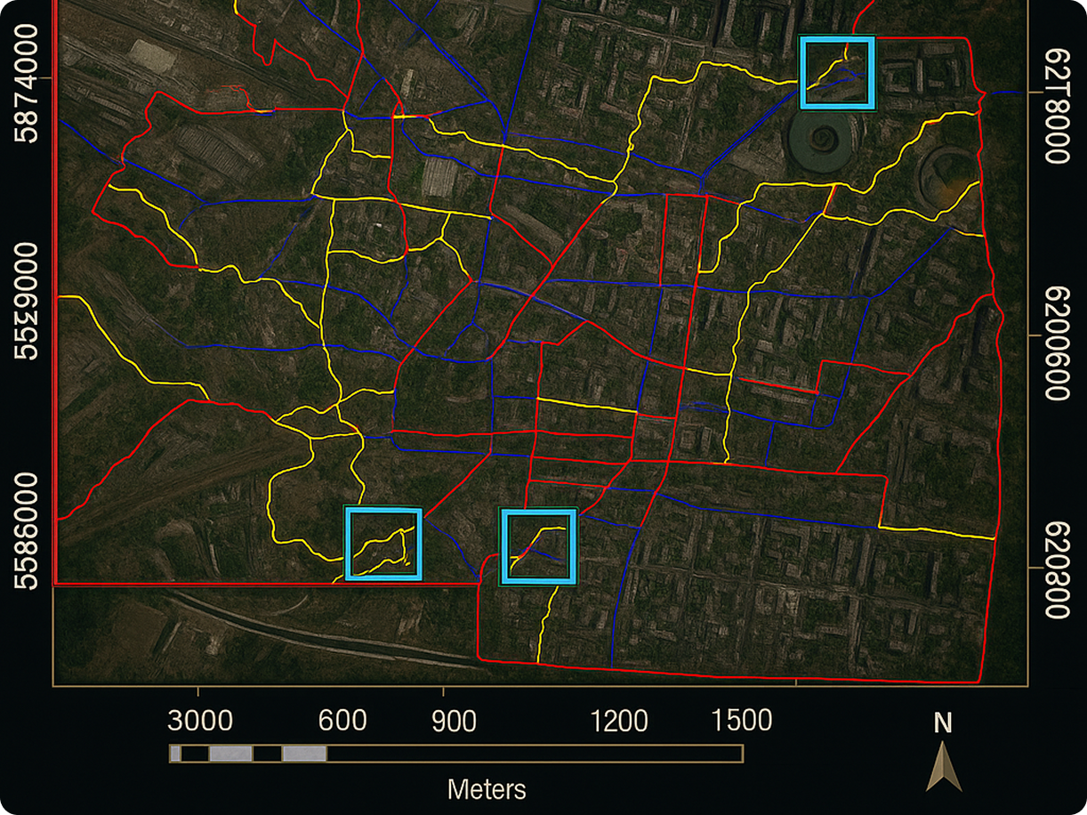
Transform imagery into decision-ready intelligence with expert-grade processing and precision tools.
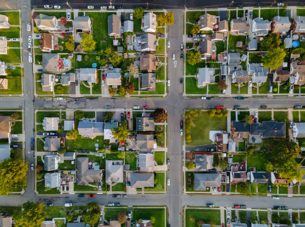

Our team specializes in delivering quality satellite imagery products which support a range of applications from infrastructure planning to environmental assessments. With a commitment to precision, we ensure that your geospatial data needs are met with excellence.
Satellite imagery is used to capture high-resolution visuals of the Earth's surface for mapping, land use monitoring, infrastructure planning, disaster response, and environmental analysis.
Modern high-resolution satellite imagery, when combined with certified ground control points, can achieve submeter positional accuracy ideal for professional geospatial applications.
We offer access to multiple commercial satellite sensors, including optical and multispectral imagery, with customizable resolutions, revisit rates, and image formats for specific project needs.
Yes, our certified orthorectification process ensures geometrically corrected satellite imagery, suitable for GIS integration, precision mapping, and accurate spatial analysis.
An orthomosaic is a seamless, georeferenced image created by stitching together multiple satellite images corrected for terrain distortion, sensor angle, and elevation.
Yes, we generate auto-correlated Digital Elevation Models (DEMs), Digital Surface Models (DSMs), and Digital Terrain Models (DTMs) from satellite imagery for terrain analysis and planning.
We offer rapid access to an extensive archive of commercial satellite imagery, often delivering imagery within hours, depending on the area of interest and image availability.
Yes, we provide customizable satellite imagery solutions tailored to your Area of Interest (AOI), including tasking new collections or selecting from archive data.
Our processes are supported by FAA DO-200A certification and adhere to industry standards, ensuring high accuracy, data reliability, and compliance with federal and commercial requirements.
High-resolution satellite imagery supports real-time monitoring of environmental changes, vegetation health, urban development, erosion control, and infrastructure condition assessment.