
Tag «Accuracy Validation»

The Cost of Bad Control: Real-World Scenarios Where Weak GCPs Caused Costly Re-Flights
Fixing GCP Errors in Photogrammetry

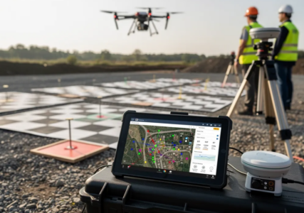
GCP errors in photogrammetry often stem from misidentified targets, unreliable field measurements, incorrect coordinate settings, or weak control-point distribution. These issues can distort a reconstruction, reduce positional accuracy, and create uncertainty in orthomosaics, point clouds, and terrain models used for engineering and UAS mapping. CompassData helps reduce that uncertainty with field-validated Ground Control Points, or …

Defensible Data: Why Independent QA/QC Matters in Legal and Regulatory Mapping

ASPRS accuracy compliance ensures that geospatial data meets industry-standard positional tolerances

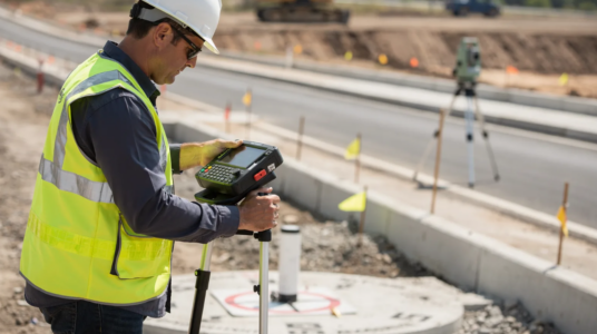
Independent geospatial accuracy verification confirms whether mapping and survey data meet their stated positional standards through a qualified third-party audit. When a project depends on the exact location of a boundary, utility asset, roadway feature, or elevation surface, “close enough” is not enough. Every coordinate must be able to withstand technical review, regulatory scrutiny, and …

GCP Archive vs. New Collect: Choosing the Right Ground Control Strategy

Buying from a GCP archive is cost-effective for projects where existing points meet accuracy requirements

Archive GCPs are well suited to budget-conscious projects that need a fast turnaround, while new collection delivers site-specific accuracy through CompassData’s field-proven process. New collections use dual-frequency GPS and GNSS receivers, total stations, and methods such as static, rapid-static, and RTK surveys. Each point is cross-checked and validated, making new collection an ideal choice when …