High-Quality Geospatial Imagery — Ready When You Are
Professional-grade orthorectified aerial and satellite imagery, delivered at the highest positional accuracy through the Hexagon HxGN Content Program.
CompassData- Off the Shelf Imagery
CompassData is proud to offer access to the Hexagon HxGN Content Program — one of the most trusted off-the-shelf imagery solutions available to geospatial professionals across the United States and Europe. All imagery is orthorectified and quality assured by experienced professionals according to set industry standards, refreshed on a planned cycle using the latest sensor technology on the market. Whether you need wide-area coverage or high-resolution urban imagery, the HxGN Content Program delivers a cost-effective alternative to custom acquisition — with licensing rights to create derivative products and analytics.
Every image in the HxGN Content Program is orthorectified and quality assured by experienced geospatial professionals to meet set industry standards. The dataset is continuously refreshed on a planned cycle using the latest sensor technology, ensuring you always have access to current, reliable imagery across your area of interest.
This data set is a cost-effective alternative to custom acquisition projects and offers full licensing rights to create derivative products and analytics — giving your team the flexibility to build on the data the way your workflow demands.
Streaming Service Access your imagery on an annual subscription basis through OGC WMS and WMTS protocols — compatible with your GIS or enterprise application of choice, including Esri ArcGIS, MapInfo, and Global Mapper. Subscription fees include unlimited viewing and plotting, ensuring you are working from a consistent dataset across all of your business units, divisions, and offices. No download required. No version management. Just current, accurate imagery available wherever your team needs it.
Hard Delivery For customers who need to store data locally or work in environments that don’t connect to streaming protocols, imagery can also be delivered as a download or via disk. A convenient, straightforward option for custom data orders and offline applications.
The HxGN Content Program covers a comprehensive range of imagery and elevation data types to support your full geospatial workflow.
30cm Aerial ImageryWide-area coverage across the United States and Europe
15cm Aerial ImageryHigh-resolution urban area coverage for cities larger than 50,000 population
Digital Surface Models (DSM)Custom order — detailed elevation surface data for your area of interest
Stereo ImageryCustom order — supporting 3D analysis and feature extraction workflows
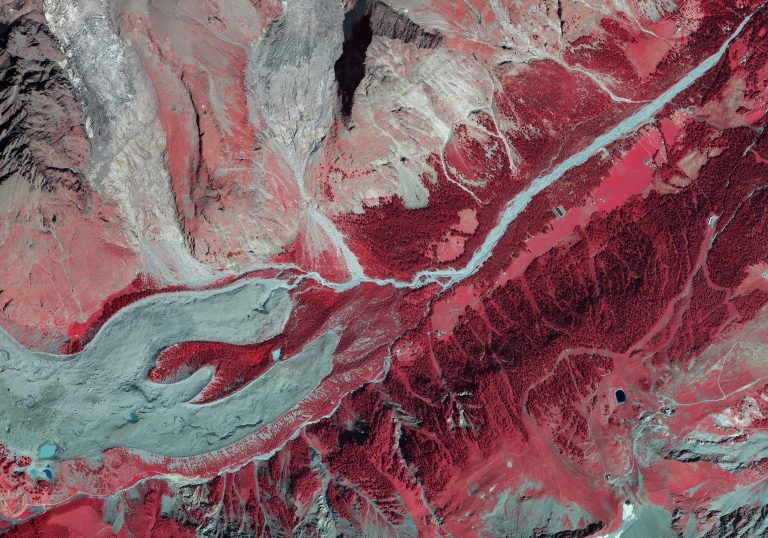
4-Band Spectral DataAll imagery available as R, G, B, and NIR with full metadata included
15cm Aerial Imagery — wide area coverage in selected States
CompassData produces custom basemaps for organizations across a wide range of sectors where accurate, current mapping is mission-critical.
Ready to Access Professional-Grade Imagery?
Whether you need wide-area 30cm coverage, high-resolution 15cm urban imagery, or custom DSM and stereo data, the Hexagon HxGN Content Program has you covered — available now, delivered fast, and built to the standards geospatial professionals rely on.