Mobile mapping
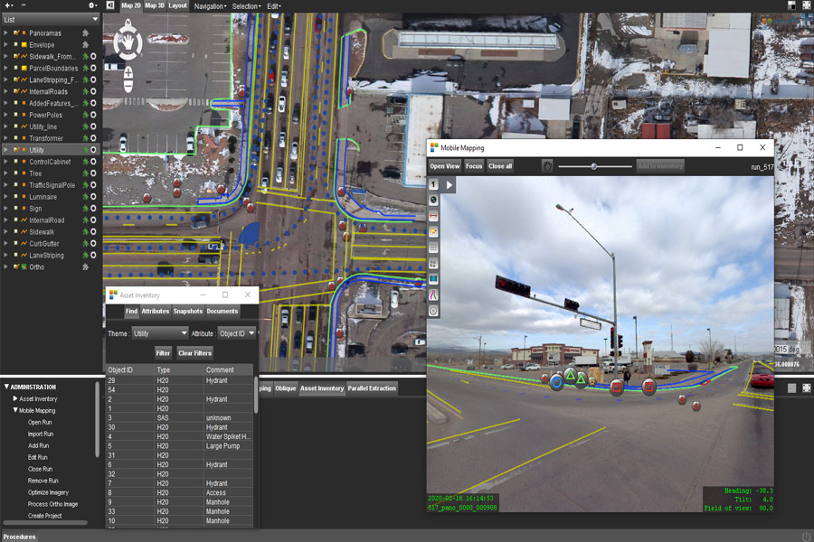
Rapidly bringing data collection and attribute rich metadata with embedded images to multiple markets
- Utility Management
- Disaster & Relief
- Facility Management
- Public Safety
- Smart Cities
- Forestry
- Real-estate
- Asset Management
- Asset Maintenance
- Stockpile Inventory
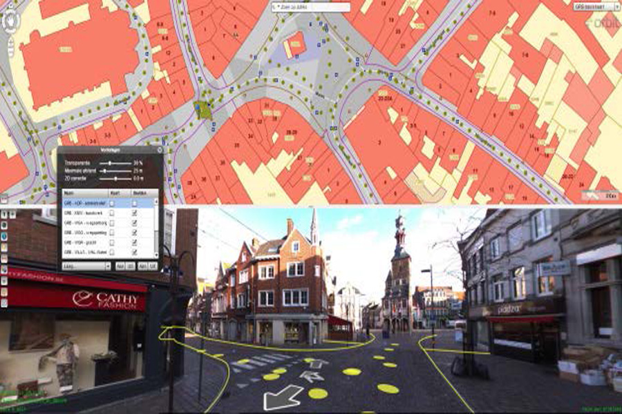
Street Level Mapping
- Capture 360-degree, 30-megapixel geo-referenced images
- Mobile mapping grade photogrammetric system
- Rapid collection at highway speeds
- Geo-reference of mapping data
- Cost effective asset management
- Enables post collection analysis of assets
- Avoid site rework and increase quality control

Backpack Mobile mapping
- Operational versatility
- Acquisition in difficult environments
- Indoor
- Outdoor
- Underground
- Highly accurate data
- Rapid collection provides a data rich 3D immersive view
- Compact integration of Imaging, Lidar GNSS, and Navigation (IMU)
“Mapping the City – 1 mile, 1 footstep at a time”