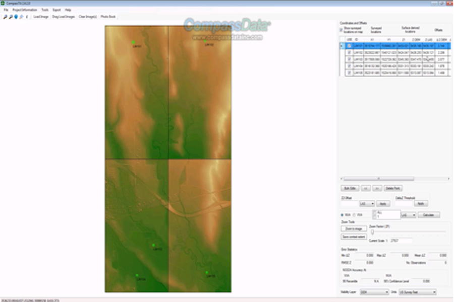
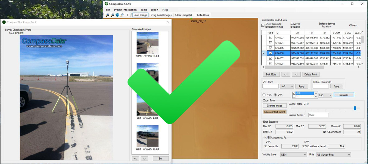
Verify ACCURACY of Elevation Data Products Automatically
Automatically tests and verifies the accuracy of elevation data products
- Flexible elevation data verification
- Standards-based reporting
- Cost-effective verification
- Auto extraction of elevations
- Shared analytics
Answer your questions of uncertainty
CompassTA lets you test:
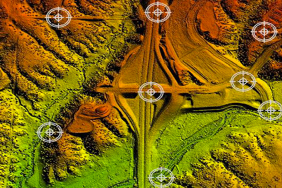
- LiDAR point cloud data
- DEM data products
- Other raster elevation Data
"The Right Choice for Topo Analysis”
Answer the Questions of Uncertainty
FREE 14 DAY TRIAL