Custom Basemap Development
Customized Maps That Can Support Organizations Online And Offline
Maps And Imagery To Support Your Mission Requirements:
- Ground control to enhance imagery to support mission planning and delivery of assets to the area of interest.
- Custom map data tailored to workflow requirements empower mission success.
- We produce custom base maps for utility, energy, law enforcement and defense agencies delivered in their secure environment.
Visual Representation Of Relevant Data
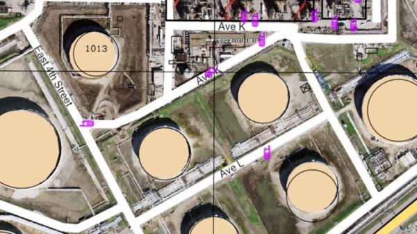
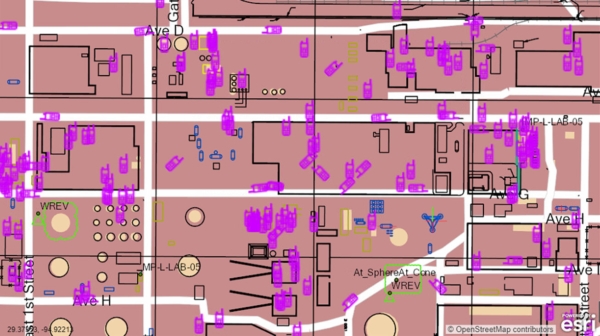
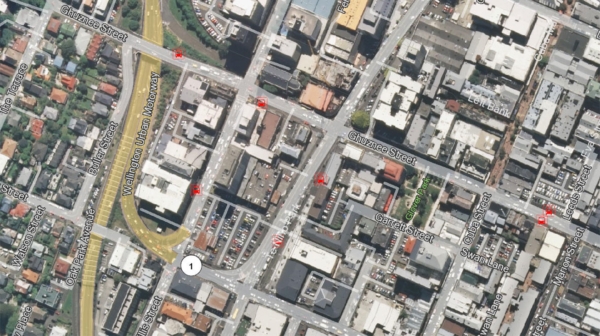
The CompassData Basemap product displays relevant data to be visualized behind a customer’s working layers and is designed for end-user operational requirements. The delivered solution may include road systems, terrain, land uses, point elements, and other geographic layers tailored to the customer’s workflow.
Services & Solutions
- Global 10 cm x,y,z photo-ID ground control to support orthoimage, LiDAR and base map production
- Site-specific or regional control to support the production and QA of imagery and LiDAR products with standard processing tools
- Custom base maps generated from open source, commercially available, and customer furnished data mashed up to meet mission requirements
- ArcGIS formats are portable and delivered to the point of the decision behind the firewall when security is paramount
- Basemap with predesigned maintenance schedule ensure an update process for current data
Benefits
- Accurate and current imagery and basemaps ensure mission success
- No more waiting for your GIS department or other agencies to deliver an out of date image or basemap
- Entire countries are delivered in weeks and small areas of interest in days
Custom Basemap
Solution
Custom Basemaps To Support GPS Based Tracking Solutions
Global Ground Control Off-The-Shelf Support Data Production