Government Data mapping
Data mapping Solutions
Encompassing multiple aspects of governmental demographic and asset management needs
- Provide GIS mapping foundation
- Evaluate disaster relief efforts
- Capture cultural and social geography
- Gain insight into the growth of population
- Urban and rural asset identification
- Maintenance identification
- Construction planning
- Traffic planning
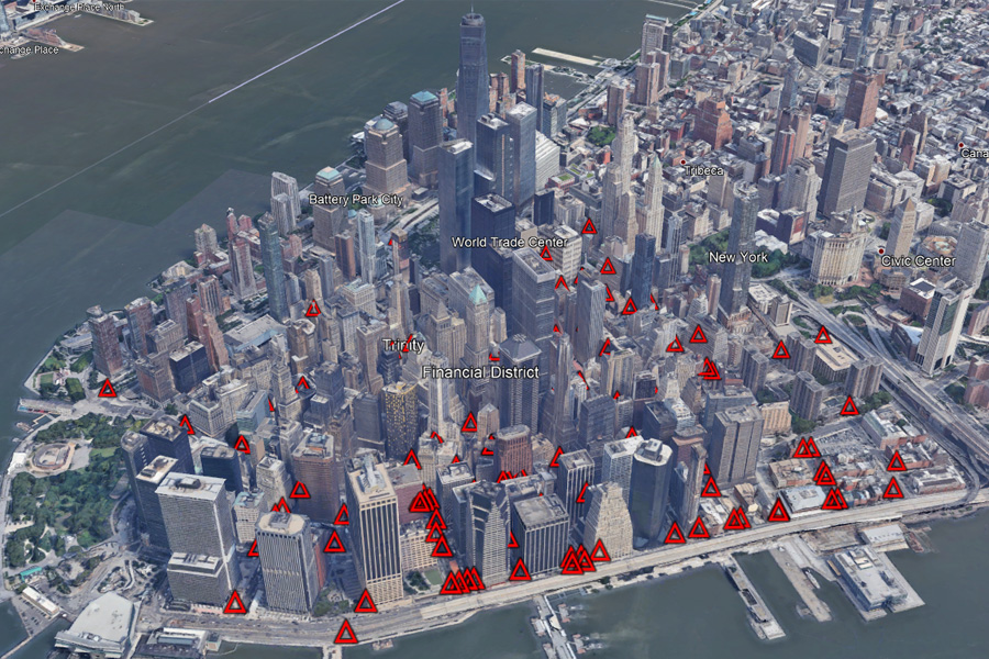
Accurately Capture INFRASTRUCTURE
Capture information with related attribute data using over 26 years of core expertise
- Ground Control Survey
- Mobile Mapping
- Aerial Imagery
- LiDAR Imagery
- Data Verification
- Sensor Calibration


Mapping Data & Capture Verification
- Geo-referenced street-based data
- Digitized features with attributes:
- Geo-Location
- Ownership & Management
- Signage Translation
- Telephone Numbers
- Street Address & Street Name
- Building Dimensions
- Other Significant Features
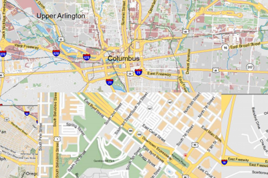
Enhanced 911
CompassData specializes in the creation of accurate Geographic data and information basemaps with accurate attribute information to form the core of most E911 GIS databases giving us the ability to develop and maintain public safety boundary layers including:
- Fire Districts
- Ambulance Service Boundaries
- Law Enforcement Areas
- Emergency Service Boundaries

Establish the baseline for current decision making and future planning.