Ground Control Points
Looking to achieve precise geospatial accuracy in your projects? Look no further than our ground control point archive – the largest collection available off the shelf. With our archive, you can trust that your geospatial data will be accurate and reliable. Contact us today to learn more and get started!
Create Accurate Data
CompassData is the world’s leader in providing GCP data for aerial photogrammetry, drone imagery, remotely sensed data by satellites and other GIS applications.
CompassData has decades of field experience and ISO 9001:2015 certified Quality Management System processes ensuring accuracy, currency, and standard formats. Whether you are working with imagery, LiDAR, radar, or multispectral data captured from satellite, aerial, drone, mobile or terrestrial platforms, Ground Control Points ensure that your project contains “Ground Truth” – the data is tied to a specific, human-verified location on earth.
Geospatial Accuracy
At CompassData, we strive for precise geospatial accuracy, as it is crucial for many industries, and various techniques can be used to achieve it. Our customers can create highly detailed and accurate representations of the earth’s surface, enabling them to make informed decisions about development and management.
- Image Orthorectification
- LiDAR and 3D Models
- UAV Based Sensors
- Mapping Databases
- Surface Elevation Mapping
- Sensor Calibration
- Driverless Vehicle Navigation
- Planimetric (GIS) Mapping
- Urban Planning / Engineering
- Utility Mapping
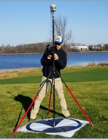
GCP Project Specifications
Per ISO 9001:2015 Certified Quality Management System and FAA Certified Quality Processes
Are you looking to take your spatial data collection and analysis to the next level? Look no further than Ground Control Points Content!
Our comprehensive coverage includes a wide range of solutions from Image Orthorectification to UAV Based Sensors, and from Airport Mapping Databases to Sensor Calibration. Our expertly curated content will give you the knowledge and tools you need to make the most of your data collection.
With our guidance, you’ll be able to produce 3D models of surfaces and objects, measure the height of land surfaces, and even map the location of underground utilities.
CompassData strives to meet and exceed the customers project requirements:
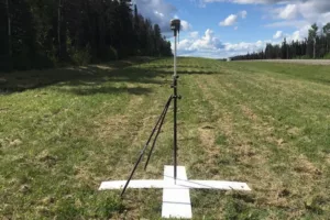
- GCP survey planned to capture best suited feature types (photo-identifiable with contrast, permanent, and flat features)
- Ground Control Points are tailored to end-product accuracy requirements
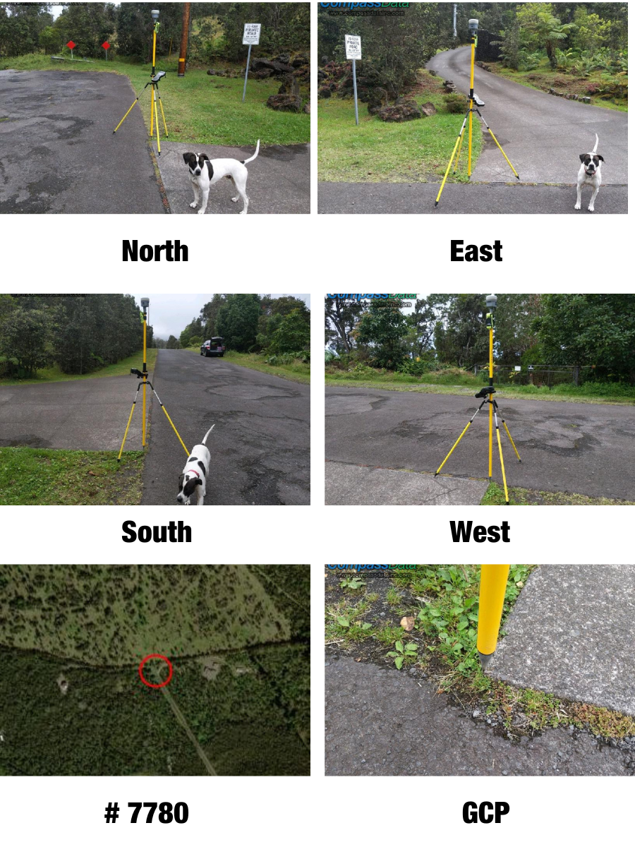
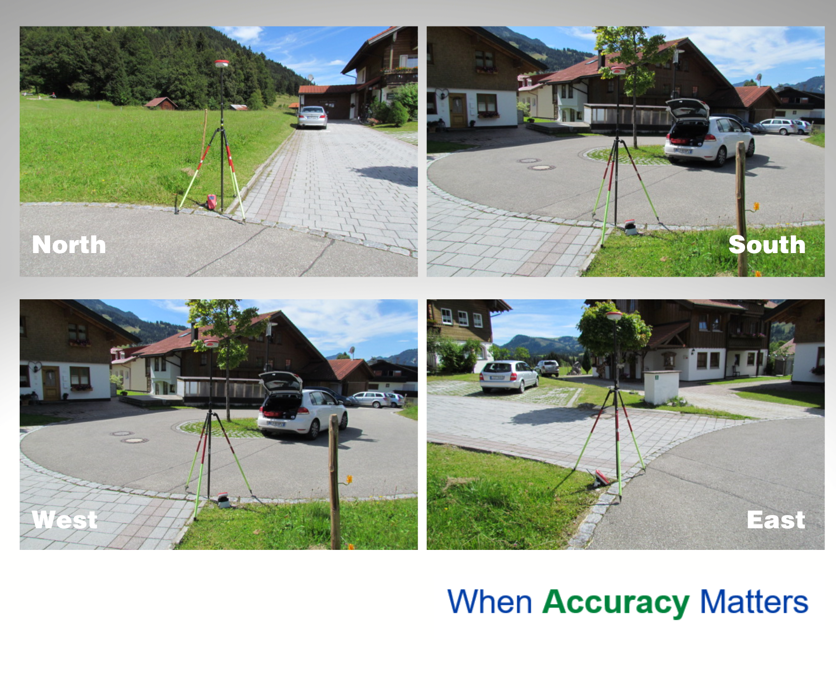
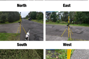
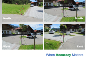
- Digital pictures of the GCP location from each cardinal direction
- Image chip showing GCP location
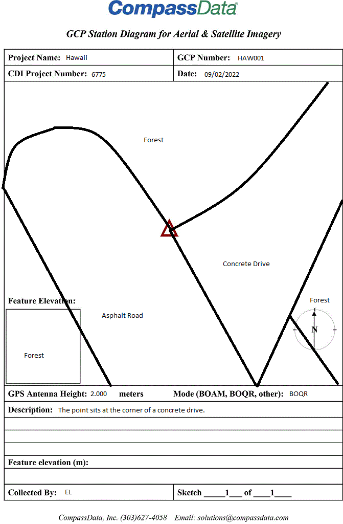
- Field Station Diagram (sketch)
- ESRI ARCGIS shapefile and Google Earth KML
- Coordinate file containing Lat/Long and Elevation with data converted to the desired spatial reference and coordinate system
- Post processing Accuracy Report
How are GCPs Created and What are They Used For?
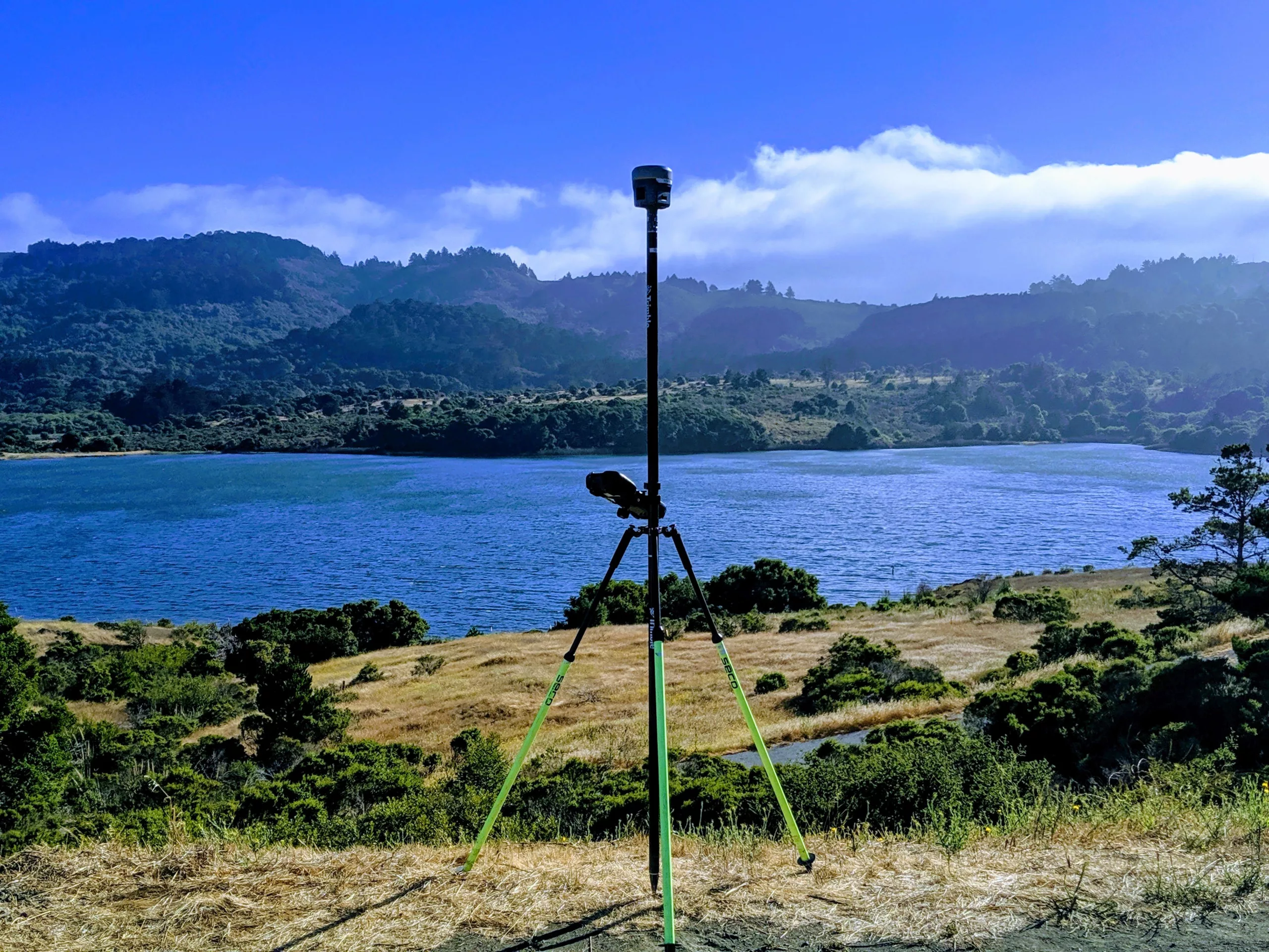
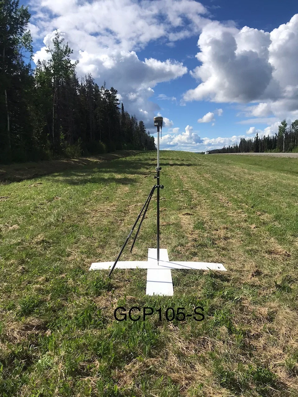
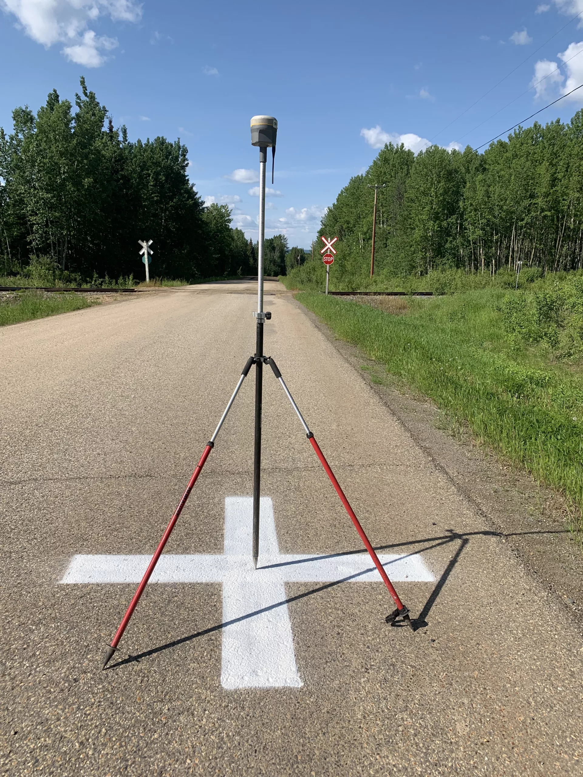
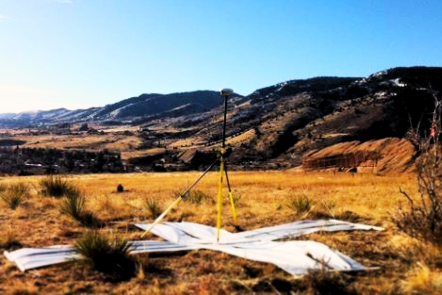
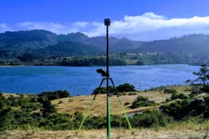
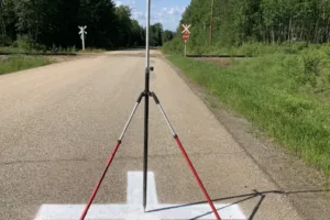
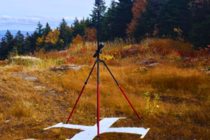
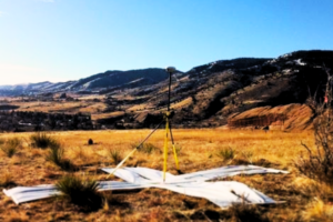
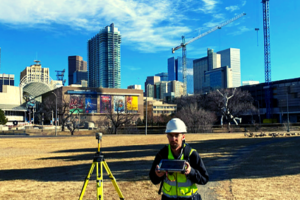
Ground Control Points, or GCPs, are surveyed position on the surface of the earth which are photo-identifiable, for example, a sidewalk corner or concrete pad, with a known horizontal (X, Y) and vertical (Z) location. They are used in remote sensing workflows to increase and/or assess the accuracy of datasets captured from satellite, aerial, drone, mobile or terrestrial platforms.
Using geodetic processing methods, the coordinates result in an accuracy of centimeters of their true location. Without ground control, the accuracies for non-orthorectified, satellite images are typically 10-200 meters off, aerial imagery by single meters, and models from the drone flights would be distorted. Remotely sensed imagery and LIDAR data can be georeferenced to within centimeters of accuracy when incorporating GCPs.
When is Submeter, or Better, Accuracy Required?
With the growing constellation of commercial earth-observation satellites, there has been an explosion of spatial data in our everyday lives. Once the realm of surveyors and rocket scientists, Global Positioning Satellite (GPS or GNSS) technology is now in our automobiles, wrist watches and cell phones. It is becoming increasingly tied to data, be it a satellite image of the earth or the map location of a restaurant we just made reservations to while stuck in traffic.
How does the satellite image and internet display the restaurant within meters of its real location? GCPs. GCPs were used to geolocate the satellite image and the map that was digitized from the image and displayed in the application. Positional accuracy will become even more critical as we progress in the age of driverless vehicles.
RSGCP: Remotely Sensed GCP
CompassData produces Remotely Sensed Ground Control Points (RSGCP™) of less than or equal to 1-meter, guaranteed, providing ground control for those areas that are restricted, too remote, or too dangerous for field data collection.
GCP Worldwide Archive
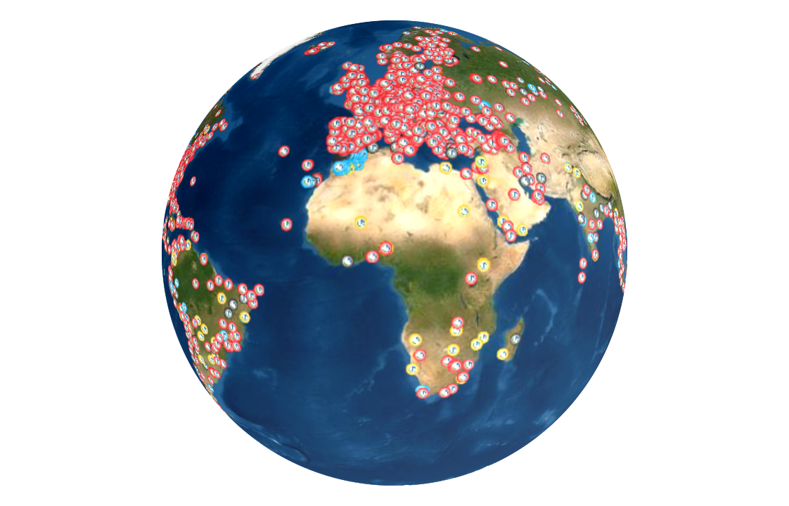
With over 65,000 GCPs and growing, download the world’s largest commercially available Ground Control Point Archive
 CompassData, Inc.