Transportation

The Geospatial Solution for Transportation
Providing ACCURATE custom geospatial solutions for your transportation related projects:
- Construction planning
- Utility mapping
- Asset management
- Demographics
- Energy management
Maintenance & Construction
Provide an ACCURATE assessment of the As-Is in a geospatial to lay out the plan for efficient developments:
- Accurate survey grade mapping
- Utility Surveys
- Pre and Post Reference Points
- Aerial imagery collection
- Mobile Mapping


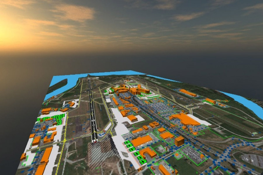
Your Global Geospatial Aviation Solution
Solutions for airport planning authorities or avionic product development:
- Certified products
- Ground Control Points
- Orthorectified Aerial and Satellite Imagery
- Aerodrome Mapping Database
- Terrain and Obstacles
- Providing new collection or cost-effective use of archive data
- Certifiable to your specific LOA standards
Rail and Light Rail Geospatial Solutions
Utilizing our geospatial expertise in surveying, imagery and data processing to provide solutions addressing some of the most pressing issues in the rail industry:
- Planning
- Routing
- Resources
- Construction
- Natural Resources
- Maintenance
- Rail Health
- Vegetation Encroachment


 CompassData, Inc.