Our LiDAR Services
We offer a variety of services to our clients including:
Flight Planning
Photogrammetry
Post Processing
LiDAR
Remote Sensing
Vectorization
Our LiDAR Solutions
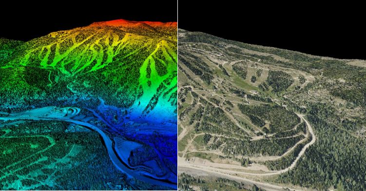
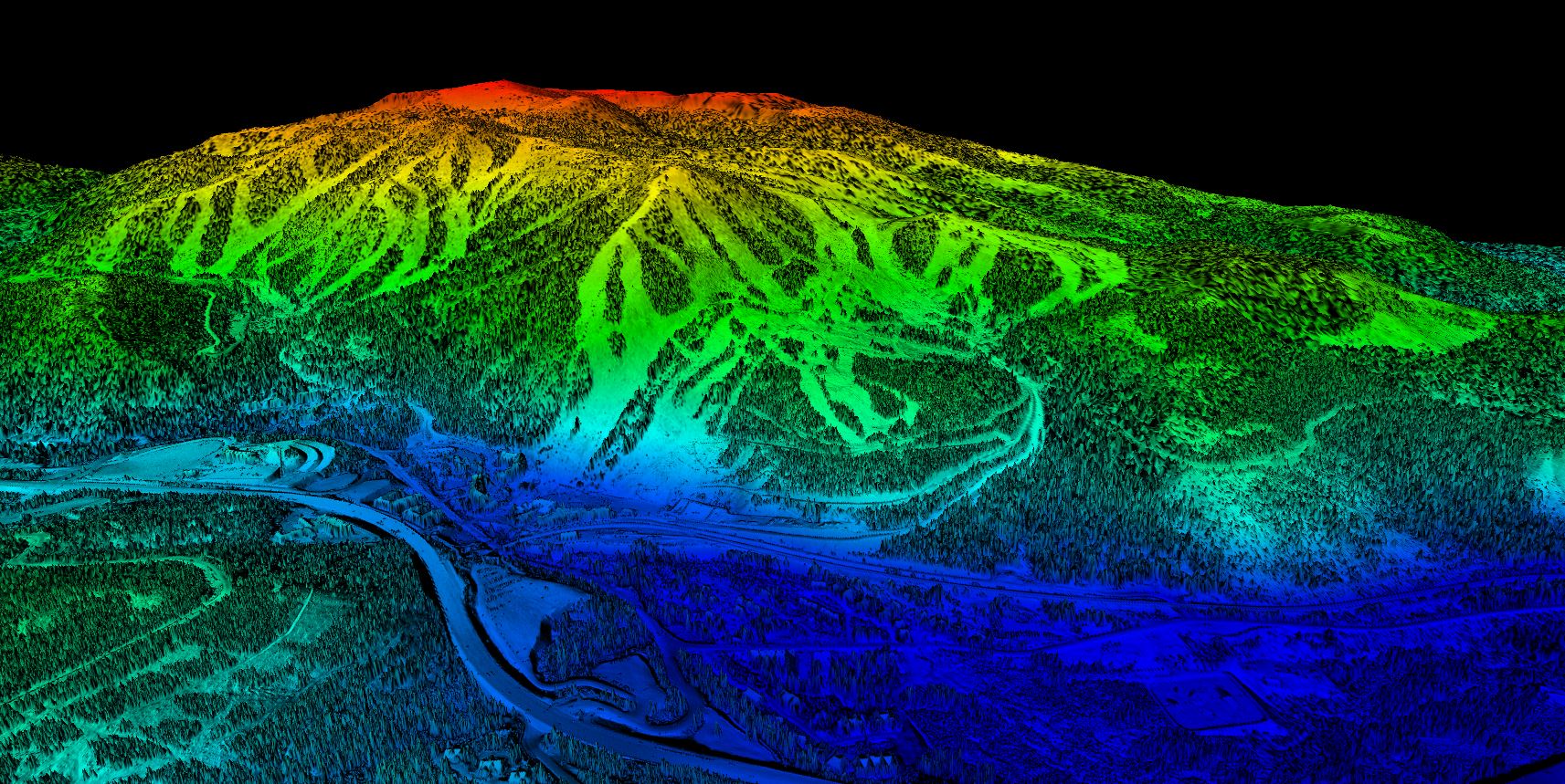
Our LiDAR solutions are cost-effective and cover a large Area of Interest (AOI) in less time. They easily collect LiDAR, digital ortho-imagery, and stereo imagery in one flight mission. This data can be used to build an accurate elevation model and can be compiled and processed into detailed bare earth models. Imagery derived from LiDAR can be processed into several types of models, including digital elevation models (DEM), digital surface models (DSM), digital terrain models (DTM), and topographic maps. With an extremely high density of points per square meter (50-100 ppsm), we can build highly accurate models of the earth’s surface.
Acquisition
We review our clients’ goals and analyze the area of interest (AOI), making crucial decisions on whether to use a drone or an aircraft for the project scope. Before flying, CompassData follows a rigorous checklist to ensure the safety, reliability, and efficiency of our pilots and field crew. Once project details are finalized, ground control targets are set and surveyed according to procedures aligned with ASPRS standards. This ensures that our products meet all accuracy requirements desired by our customers.

Post-Processing
CompassData’s team includes post-processing professionals who have the expertise to ensure Quality Control/Quality Assurance for LiDAR deliverables. Postprocessing from CompassData includes all relevant LiDAR attributes: classification, intensity, return information, GPS timestamp, flight line information, etc. We have the expertise to post-process any LiDAR to professional standards.
Quality Assurance / Quality Control
CompassData offers calibration capability for LiDAR data, with leading software tools, prior to using crucial Quality Control procedures for testing and reporting both, absolute positional accuracy as well as the relative accuracy among all datapoints. While independently derived Ground Control Points are a crucial component for LiDAR quality, calibration can be a complicated procedure. We can provide the GCPs for your in-house calibration, or we can do Quality Control for you, using our proprietary GCPs and a least-squares minimization technique designed to ensure the best calibration quality. Our QA/QC quantitative check ensures vertical accuracy, horizontal accuracy, clustering of points, and nominal posting. We will meet ASPRS standards for collection.
Deliverables
We offer several different formats for delivery to our customers (LAS, ESRI, ACSII and CADD).
- Digital Elevation Models (DEM)
- Digital Surface Models (DSM)
- Digital Terrain Models (DTM)
- 3D Elevation Contour Lines
- Topological Maps
- Analysis of Vegetation/Hydrography/Permeable Surfaces/Erosion
- 3D Models
Looking for a reliable and efficient partner for your aviation needs? Look no further than us! Our strategic flight planning services are top-notch, and we utilize our extensive GCP archive, target control for new ground control points survey, and advanced imagery post-processing techniques to ensure that you receive the highest quality results. Trust us to have you covered every step of the way.

LiDAR 101
What is LiDAR?
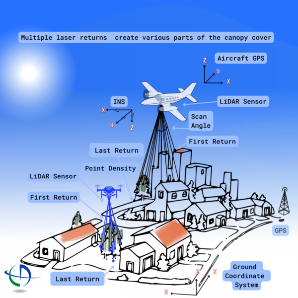
LiDAR stands for Light Detection and Ranging (LiDAR) – LiDAR is an active sensory system that uses laser light, an inertial measurement unit (IMU), and Global Positioning System (GPS) to rapidly measure distances between the sensor and points on the ground. This creates dense, highly accurate elevation data. Using GPS calibration sites within LiDAR collection grids that verify the GPS to provide “Ground Truth” for LiDAR data analysis. LiDAR analysis is a growing need in the GIS community and CompassData is at the forefront of this field. CompassData establishes and manages multi-use GPS calibration sites for digital sensors and LiDAR, working with clients such as the National Oceanic and Atmospheric Administration (NOAA) and the United States Geological Survey (USGS).

 CompassData, Inc.