Ground Control Points (GCPs) for High-Precision Geospatial Accuracy
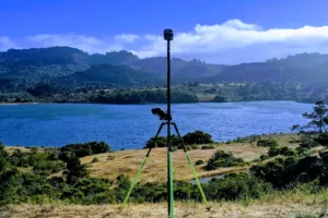
At CompassData, we specialize in delivering custom-collected Ground Control Points (GCPs) tailored to your project’s specific needs. Our expert survey teams operate globally, delivering high-accuracy ground truth data essential for a wide range of geospatial applications—including satellite and aerial photogrammetry, LiDAR calibration, drone/UAV mapping, remote sensing validation, orthorectification, digital twin modeling, change detection, and infrastructure and environmental monitoring.
Contact the CompassData Control Freaks to Enhance the Accuracy of your Geospatial Data Set
We’re the Control Freaks—In the Best Way Possible
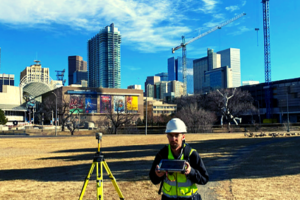
At CompassData, we proudly call ourselves the “Control Freaks”—because when it comes to Ground Control Points, accuracy is everything. With decades of global experience, we are unmatched in our ability to collect and process geospatial ground truth data that meets the highest industry standards. Whether you’re working with satellite imagery, aerial photos, drone data, or LiDAR, our obsession with control ensures your maps, models, and decisions are built on a foundation you can trust.
Enhance the Accuracy of your Geospatial Data Set with Verified Trusted, Highly-Accurate Ground Control Points
CompassData is a global leader in providing Ground Control Points for aerial imagery, drone mapping, satellite remote sensing, LiDAR, and GIS applications.
With decades of field expertise and an ISO 9001:2015-certified Quality Management System, we guarantee high-accuracy, up-to-date Ground Control Point GCP data in standard formats. Our Ground Control Points GCPs serve as ground truth markers, ensuring that your satellite, aerial, drone, mobile, or terrestrial data is accurately referenced to real-world coordinates.
Ground Control Points enable:
- Accurate georeferencing for remote sensing imagery
- Error correction in aerial and satellite mapping
- Precision calibration for LiDAR and multispectral data
- Reliable positioning for engineering, urban planning, and infrastructure projects
Achieve Unmatched Geospatial Accuracy
At CompassData, we strive for geospatial accuracy. Accurate geospatial data is essential across industries, from engineering and urban planning to autonomous navigation and utility mapping. By integrating high-quality Ground Control Points, organizations can create high-resolution, spatially accurate representations of the Earth’s surface, supporting data-driven decision-making.
Applications of Ground Control Points:
- Image Orthorectification for distortion-free aerial and satellite imagery
- LiDAR and 3D Model Calibration for high-precision mapping
- UAV-Based Sensors for accurate drone mapping and photogrammetry
- Mapping Databases to ensure spatial consistency across GIS datasets
- Surface Elevation Mapping for terrain analysis and infrastructure projects
- Sensor Calibration to align remote sensing instruments with real-world coordinates
- Autonomous Vehicle Navigation to improve location accuracy for driverless technology
- Planimetric GIS Mapping for infrastructure and land-use planning
- Urban Planning & Engineering for data-backed development decisions
- Utility Mapping to accurately document and maintain infrastructure networks
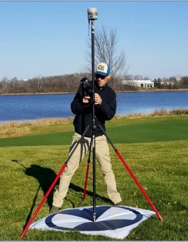
Ground Control Point (GCP) Project Specifications
ISO 9001:2015 Certified & FAA-Approved Quality Processes
Looking to elevate your geospatial data collection? Our Ground Control Points provide unmatched accuracy, supporting everything from image orthorectification to UAV based sensors and airport mapping databases to sensor calibration.
Our comprehensive coverage includes a wide range of solutions from Image Orthorectification to UAV Based Sensors, and from Airport Mapping Databases to Sensor Calibration. Our expertly curated content will give you the knowledge and tools you need to make the most of your data collection.
With our guidance, you’ll be able to produce 3D models of surfaces and objects, measure the height of land surfaces, and even map the location of underground utilities.
CompassData strives to meet and exceed the customers project requirements. Our Ground Control Points (GCPs) Standards Include:
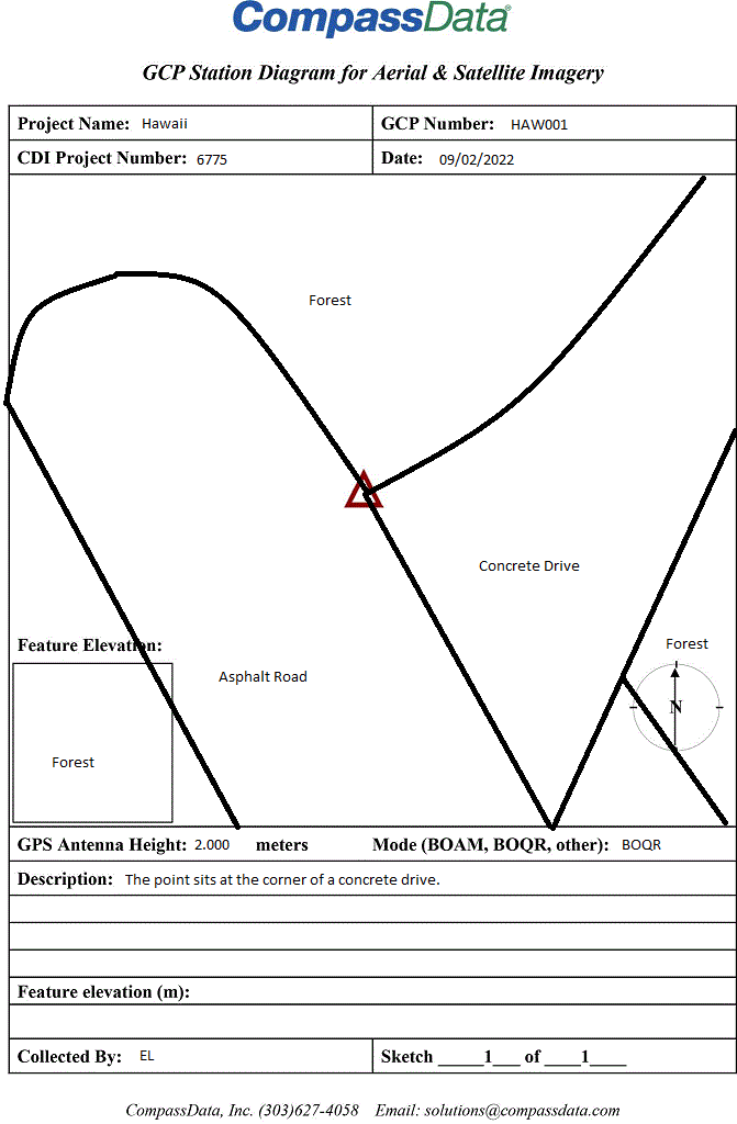
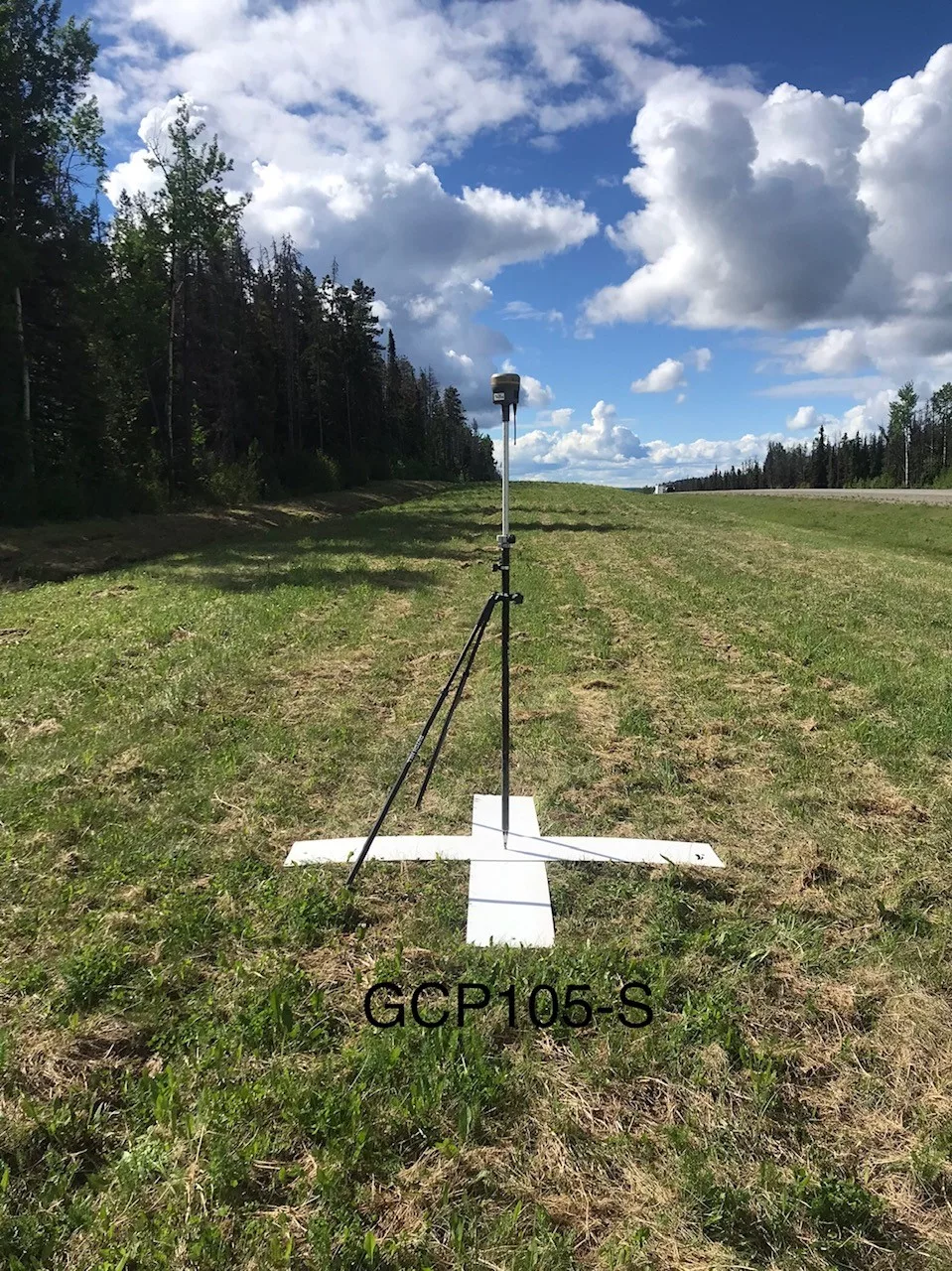
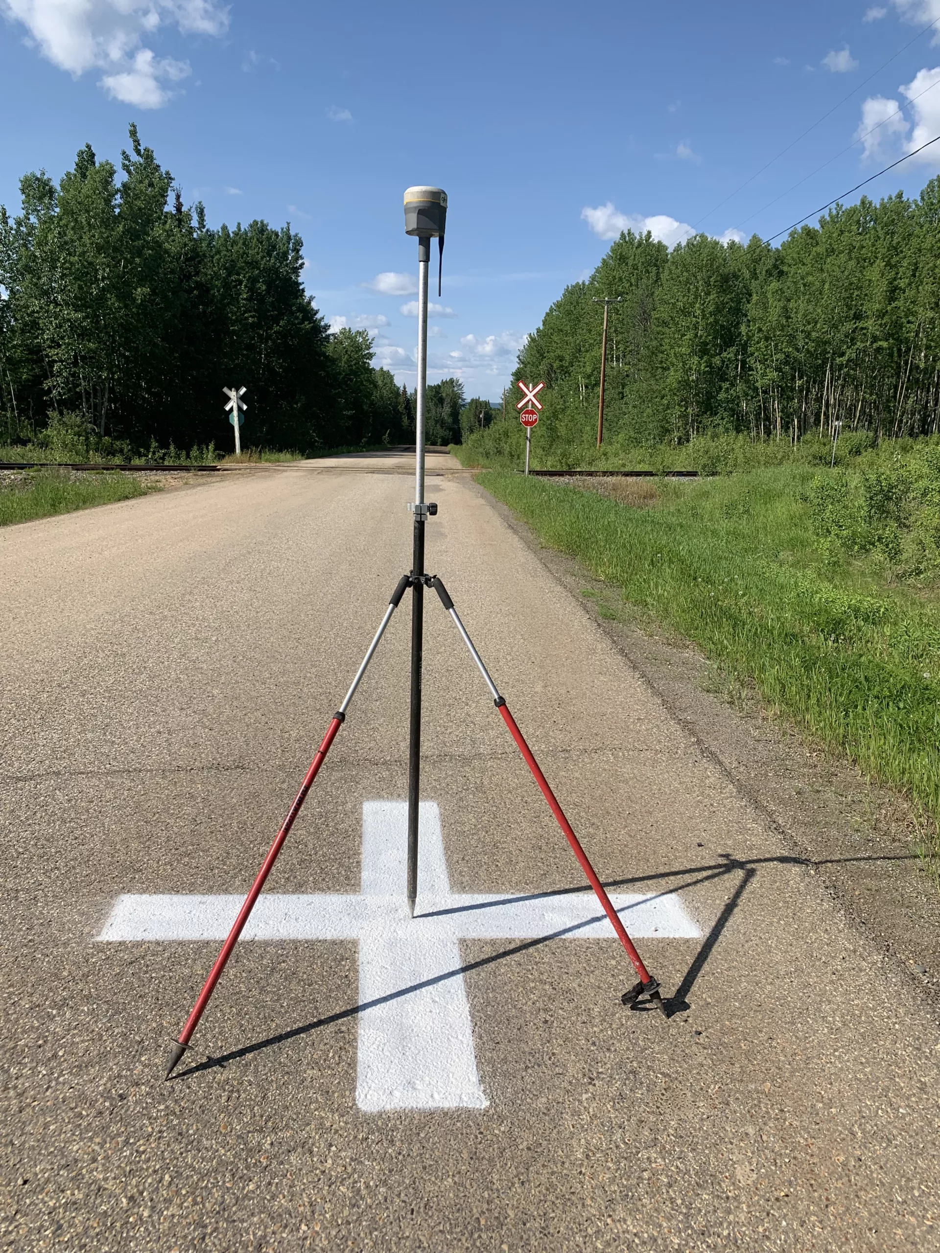
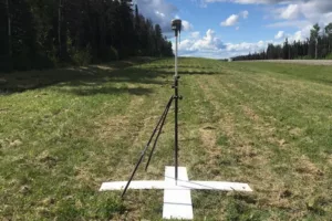
- Ground Control Points survey planned to capture best suited feature types (photo-identifiable with contrast, permanent, and flat features)
- Ground Control Points are tailored to end-product accuracy requirements
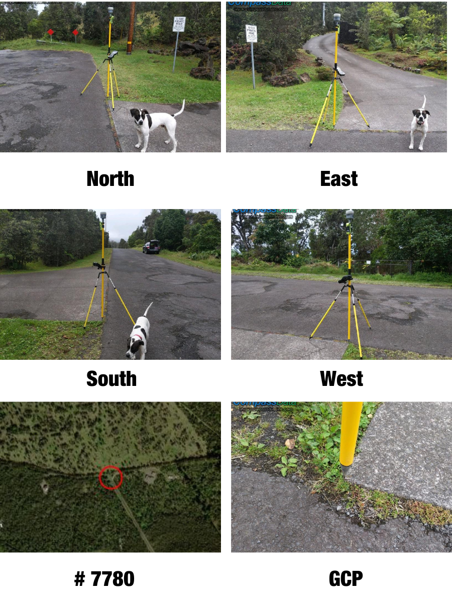
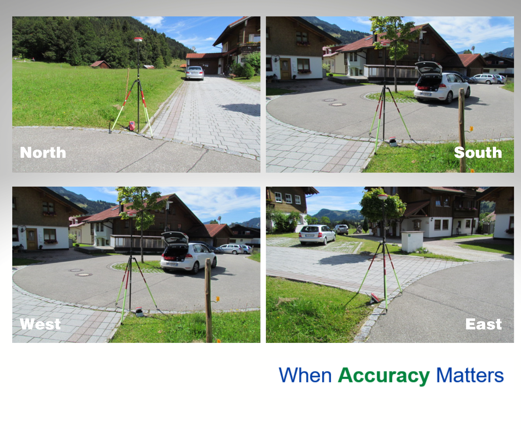
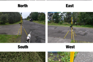
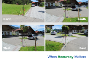
- Digital photos of each Ground Control Point GCP from multiple angles each cardinal direction
- Georeferenced image chips to confirm locations
- ESRI ArcGIS shapefiles and Google Earth KMLs
- Coordinate files containing Lat/Long and Elevation with data converted to the desired spatial reference and coordinate system
- Post-Processing Accuracy Reports to validate data quality
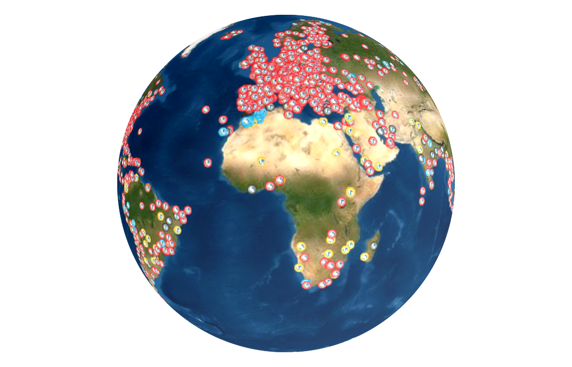
-
Frequently Asked Questions FAQs
What are Ground Control Points (GCPs)?
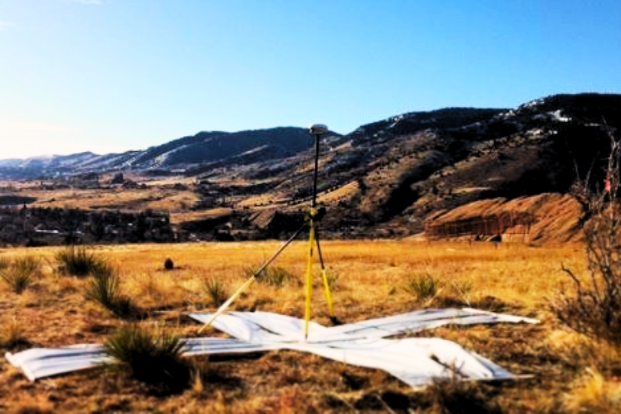
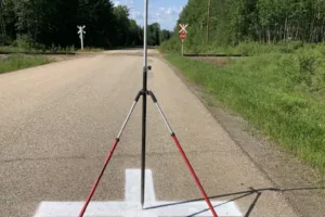
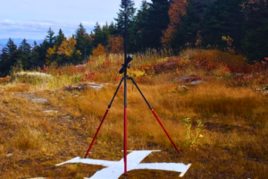
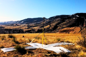
Ground Control Points (GCPs) are accurately surveyed locations on Earth’s surface used to improve the positional accuracy of satellite, aerial, and drone imagery. They serve as reference points with known geographic coordinates, helping to align geospatial data with real-world locations.
Why are Ground Control Points important in geospatial projects?
Ground Control Points (GCPs) provide a precise and extremely accurate reference for georeferencing remotely sensed data, ensuring that maps, models, and imagery align with real-world locations. By reducing spatial distortions, Ground Control Points (GCPs) enhance the accuracy of GIS mapping, urban planning, infrastructure development, and environmental monitoring. They also play a critical role in improving the reliability of LiDAR calibration, aerial and satellite imagery orthorectification, digital twin creation, asset management for utilities and transportation networks, disaster response planning, floodplain and watershed modeling, agricultural monitoring, and volumetric analysis for mining and construction projects.
Accurate Ground Control Points (GCPs) are the foundation for confident decision-making across industries where geospatial precision matters.
How do Ground Control Points (GCPs) improve drone mapping accuracy?
Ground Control Points (GCPs) help correct distortions in drone imagery by providing accurate, well defined ground reference points. This improves the spatial accuracy of 3D models, orthophotos, and LiDAR data, making drone-based surveys more reliable for applications such as construction site monitoring, volumetric calculations, land surveying, and agricultural assessments.
Can Ground Control Points be used for LiDAR calibration?
Yes, Ground Control Points (GCPs) enhance LiDAR calibration by providing ground-truth data for validating elevation models and point cloud accuracy. They help ensure that LiDAR datasets accurately represent terrain and structures, which is crucial for applications such as modeling, forestry mapping, and infrastructure planning.
What industries benefit from using Ground Control Points?
Ground Control Points (GCPs) are critical to industries that demand high-precision and highly accurate mapping and data validation.
Sectors such as urban planning, civil engineering, agriculture, disaster management, telecommunications, and autonomous vehicle navigation rely on GCPs to ensure their geospatial data aligns accurately with real-world locations. GCPs are essential for projects requiring precise positional accuracy, including road construction, pipeline mapping, infrastructure development, and environmental studies.
Additional industries that benefit from Ground Control Points include land surveying, utilities, aviation, transportation, oil and gas, construction, forestry, defense, mining, and environmental monitoring. Wherever geospatial accuracy is mission-critical, CompassData’s expertly collected GCPs provide the ground truth foundation needed for confident decision-making and successful project outcomes.
What is the difference between Ground Control Points (GCPs) and check points?
Ground Control Points are used to georeference and correct spatial inaccuracies in geospatial data, ensuring that imagery and models align with real-world coordinates. Check points, on the other hand, serve as independent reference markers to validate the accuracy of processed data without being used for direct adjustments.
How accurate are Ground Control Points?
Ground Control Points (GCP) accuracy depends on the geodetic survey methods and equipment used. When surveyed with high-precision GNSS and differential GPS techniques, Ground Control Points (GCPs) can achieve sub-centimeter accuracy, making them ideal for high-resolution mapping and accurate geospatial applications.
Are Ground Control Points necessary for all aerial surveys?
While not always required, Ground Control Points (GCPs) significantly improve the accuracy of aerial surveys, especially when high precision is needed for infrastructure projects, environmental assessments, or topographic mapping. In cases where survey-grade accuracy is required, Ground Control Points (GCPs) play a critical role in reducing errors.
How do Ground Control Points (GCPs) enhance 3D modeling?
Ground Control Points (GCPs) provide real-world coordinates that align photogrammetric models with the true Earth’s surface. By anchoring 3D models to known positions, Ground Control Points (GCPs) improve accuracy in applications like architectural modeling, terrain reconstruction, and virtual reality simulations for urban planning.
Can Ground Control Points be used in remote or hazardous locations?
Yes, Remotely Sensed GCPs (RSGCP™) provide reliable control points for areas that are difficult to access due to rough terrain, safety hazards, or restricted zones. These remotely sensed control points enable geospatial accuracy in challenging environments, including dense forests, mountainous regions, and disaster-stricken areas.
When physical placement is challenging, alternatives like Remotely Sensed GCPs (RSGCP™), aerial Ground Control Points (GCPs), or satellite-based control points provide accurate geospatial referencing without on-site access.
Why Are Ground Control Points Important in Geospatial Projects?
Ground Control Points (GCPs) ensure high-accuracy georeferencing for satellite, aerial, and drone imagery, reducing distortions and aligning spatial data with real-world locations. They are crucial for mapping, surveying, construction, and GIS applications where precision and accuracy are essential.
Ground Control Points: Why Are They Important?
Ground Control Points (GCPs) are the foundation of Geospatial Accuracy. They are essential for unlocking the full potential of geospatial data. They serve as the anchor points that dramatically improve positional accuracy, enhance the quality of 3D modeling, and ensure the precision needed for critical infrastructure projects. GCPs also play a vital role in disaster response planning, land use management, environmental monitoring, and more.
Across industries — from transportation and construction to agriculture and defense — reliable Ground Control Points are the difference between rough estimates and confident, actionable decisions. With CompassData’s expertly collected GCPs, your data isn’t just mapped—it’s trusted.
-
What are Ground Control Points (GCPs)?
Ground Control Points (GCPs) are accurately surveyed locations on Earth’s surface used to improve the positional accuracy of satellite, aerial, and drone imagery. They serve as reference points with known geographic coordinates, helping to align geospatial data with real-world locations.
-
Why are Ground Control Points important in geospatial projects?
Ground Control Points (GCPs) provide a precise and extremely accurate reference for georeferencing remotely sensed data, ensuring that maps, models, and imagery align with real-world locations. By reducing spatial distortions, Ground Control Points (GCPs) enhance the accuracy of GIS mapping, urban planning, infrastructure development, and environmental monitoring. They also play a critical role in improving the reliability of LiDAR calibration, aerial and satellite imagery orthorectification, digital twin creation, asset management for utilities and transportation networks, disaster response planning, floodplain and watershed modeling, agricultural monitoring, and volumetric analysis for mining and construction projects.
Accurate Ground Control Points (GCPs) are the foundation for confident decision-making across industries where geospatial precision matters.
 CompassData, Inc.