Utility Survey & Mapping Geospatial Solutions

Build a Proper Foundation
Utilization of our certified collection and processing
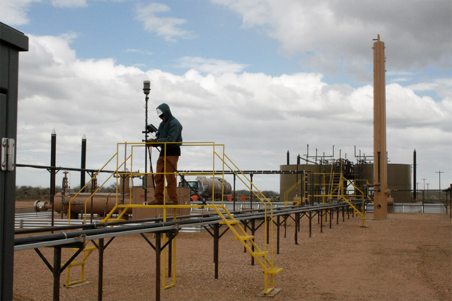
- Above ground GNSS Survey
- Below ground GPR survey
- Mobile mapping
- Backpack mapping
- Aerial and Drone Imagery
Integrated Geospatial Solutions
Multiple pathways…. One solution!
- Aerial and Drone imagery
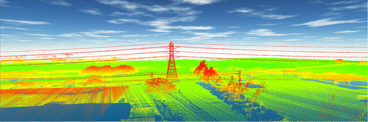
- Aerial and Drone LiDAR data
- Professional utility surveys
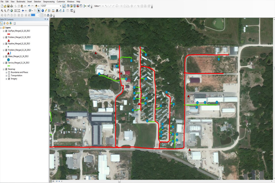
- GNSS/GIS
- Underground utility locating services.
- Mobile mapping
- Terrestrial
- Backpack


Vegetation Management
Simultaneously reduce risk, improve documentation & Compliance, and gain efficiencies by incorporating LiDAR
- Professional utility surveys
- GNSS/GIS
- Mobile mapping
- Terrestrial
- Backpack
- Integrated geospatial solution for present and future planning
Subsurface Utility
Engineering (SUE)
Our solution enables:
- Strategic development
- Informed design decisions
- Risk management
- Conflict avoidance
- Maintenance savings
- Construction savings
- Improved safety
- Regulation compliance


 CompassData, Inc.