Industries We Serve
Aviation
If you’re looking for reliable aviation solutions, we’ve got you covered. Our team understands the critical role that accurate and up-to-date airport mapping data plays in ensuring safe and efficient air travel. That’s why we offer a comprehensive range of airport mapping solutions designed to help airports and airlines stay on top of their game.
Our solutions include:
Airport Imagery: We supply high-quality imagery of airports to help you better understand the layout and features of the airport.
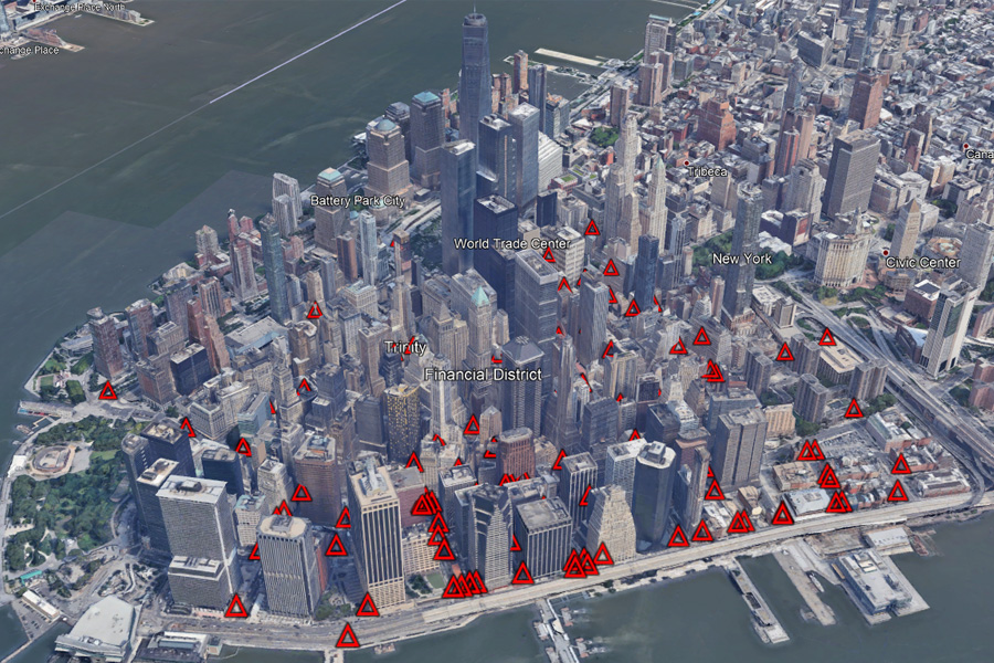
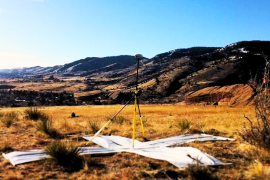
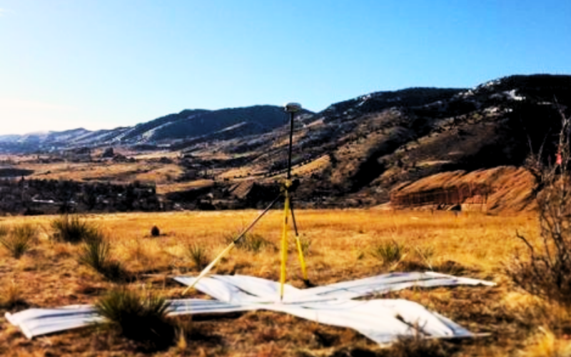
Ground Control Points: Our team uses ground control points to ensure accurate georeferencing of airport imagery, allowing you to make more informed decisions about your operations.
Airport Mapping Database (AMDB): Our AMDB is a comprehensive database of airport mapping information, including runways, taxiways, gates, and more. It’s designed to help you streamline your operations and make more informed decisions.
With our aviation solutions, you can be confident that you’re getting the most reliable and up-to-date information available. Contact us today to learn more about how we can help you manage your airport operations more effectively.
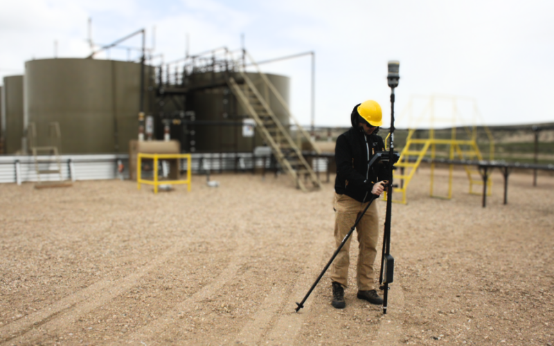
If you’re operating in the oil and gas industry, you understand the critical role that accurate geospatial data plays in ensuring the safety and efficiency of your operations. That is why we offer a comprehensive range of solutions designed to help you better understand your assets and make more informed decisions.
Our solutions include:
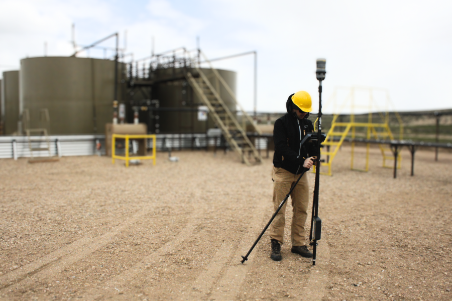
Data Collection: We use the latest technology to collect accurate and reliable data on your assets.
Topological and Subsurface Utility Surveys: Our team of experts can help you identify potential hazards and optimize your operations.
Pipeline System Mapping, Routing, and Analysis: Our solutions can help you better understand your pipeline system, identify potential issues, and optimize your routing.
Well Pad and Drilling Site Mapping: Our solutions can help you manage your drilling sites more effectively, including optimizing pad placement and identifying potential hazards.
Project Planning: Our team can help you plan your projects more effectively, including optimizing your resources and minimizing your environmental impact.
Asset Tracking and Management: Our solutions can help you track and manage your assets more effectively, including optimizing your maintenance schedules and reducing downtime.
Environmental Resource Optimization: Our solutions can help you minimize your environmental impact and ensure compliance with regulations.
Site Maps (2D and 3D): Our site maps can help you better understand your assets and make more informed decisions.
With our solutions, you can be confident that you’re getting the most reliable and up-to-date information available. Contact us today to learn more about how we can help you manage your assets more effectively.
Are you looking for reliable solutions to help you manage your utility operations more effectively? Look no further than our comprehensive range of solutions designed specifically for the utility industry.
Our solutions include:
Above Ground GNSS and Below Ground GPR Surveys: Our team uses the latest technology to collect accurate and reliable data on your assets, both above and below ground. This data can help you better understand the location and condition of your assets, enabling you to make more informed decisions about maintenance and repair.
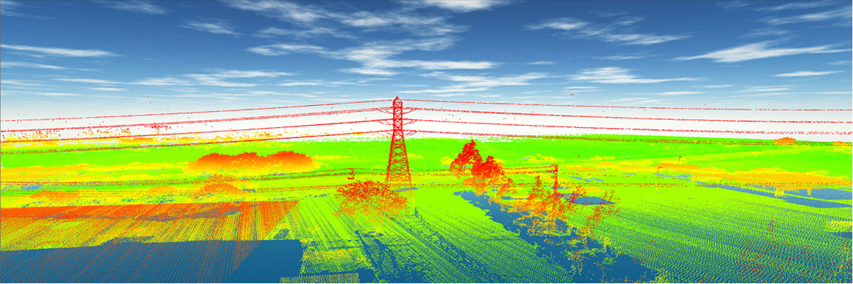
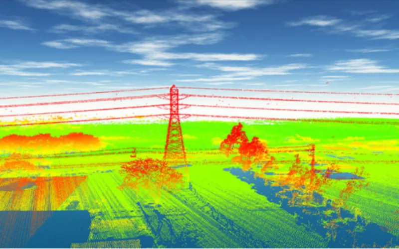
Vegetation Management: Our solutions can help you manage vegetation around your assets, reducing the risk of outages and ensuring the safety of your employees and the public.
Subsurface Utility Engineering: Our team of experts can help you identify potential hazards and optimize your operations, ensuring the safety and efficiency of your utility system.
With our solutions, you can be confident with our team of experts. We can help you identify potential hazards and optimize your operations, ensuring the safety and efficiency of your system.
Contact us today to learn more about how we can help you manage your utility operations more effectively and ensure the safety and reliability of your system.
Are you a government agency looking to improve your services to citizens? Look no further than our geospatial data solutions. We offer a wide range of tools to help you better understand your assets and provide better services to your citizens. Our solutions include environmental mapping and analysis, emergency response planning, asset tracking and management, land use analysis and planning, infrastructure mapping and analysis, and data mapping solutions. With over 26 years of core expertise, we can help you capture and analyze everything from cultural and social geography to urban and rural assets. Our data verification, sensor calibration, and mapping data and capture verification ensure that you have the most accurate and up-to-date information available. Trust us to help you evaluate disaster relief efforts, gain insight into population growth, and accurately capture infrastructure.
Contact us today to see how we can provide you with a GIS mapping foundation to help you make informed decisions and better serve your citizens.
Are you a transportation company looking to optimize your operations and enhance passenger safety? Look no further than our geospatial solutions. Our range of tools can help you with everything from route mapping and analysis to vehicle tracking and management. We can even help you assess road conditions and optimize traffic flow. With our help, you can improve the efficiency of your operations while providing a better experience for your passengers. Our solutions also include emergency response planning, ensuring that you’re prepared for any situation.
We provide accurate custom geospatial solutions for your transportation-related projects including construction planning, utility mapping, asset management, demographics, energy management, and government-related solutions. We can also help with maintenance and construction by providing an accurate assessment of the current state of your assets. Our services include accurate survey grade mapping, aerial imagery collection, and mobile mapping.
If you’re in the rail industry, we can provide rail and light rail geospatial solutions. Our geospatial expertise in surveying, imagery, and data processing can provide solutions addressing some of the most pressing issues in the industry, including planning, routing, resources, construction, natural resources, rail health, and vegetation encroachment. Trust us to help you optimize your operations and provide better service for your passengers.
Contact us today to learn more.
Are you looking to optimize your golf course operations and provide a better experience for your guests? Look no further than our geospatial solutions. Our range of tools can help you with everything from course mapping and analysis to irrigation mapping and analysis. We can even help you track guest behavior and optimize maintenance planning. With our help, you can improve your course’s efficiency while providing a better experience for golfers. Our solutions also include golf design, simulation, and operations, ensuring that you’re getting the most out of your course.
We provide high-resolution, spatially accurate aerial imagery and LiDAR data acquisition services that have limitless potential. Our experts can help you with irrigation mapping, course terrain design and simulation, and course asset mapping. With our digital terrain models and course features and asset data maps, you can integrate our data into your golf course simulator software and make maintenance planning a breeze. Our solutions also include irrigation mapping on top of the orthoimage, giving course superintendents the ability to configure all irrigation heads and water appropriately. The associated data for each head can give psi, range, and volume statistics, allowing for reduced maintenance costs and operational management time.
Contact us today to learn more about how we can help you optimize your golf course operations and provide a better experience for your guests.
Are you a ski resort looking to provide the ultimate skiing experience for your guests? Look no further than our highly accurate geospatial foundation solutions. Our range of tools can provide you with everything you need to create and maintain the perfect skiing environment. Our solutions include aerial photography and LiDAR, ground control and checkpoint surveying, classified LiDAR returns, aerial triangulation, digital orthophotography, oblique imagery, digital elevation and terrain modeling, topographic and contour mapping, and planimetric feature mapping. With our survey grade ground control point collection, we can ensure that your data is accurate and reliable. Our permanent monumentation for future projects will tightly align with all foundation data provided ensuring a seamless integration with future projects. Trust us to provide you with the data you need to make informed decisions and provide the ultimate skiing experience for your guests.
Contact us today to learn more.
29 Years of Expertise
65,000 Ground Control Points
6 Continents
 CompassData, Inc.


