Access the World’s Largest Commercially Available Archive!
Over 80,000+ Ground Control Points Are Currently Available Off The Shelf
Contact us for sample data!
Whether you are working with drone, satellite, aerial or LiDAR imagery, Ground Control Points (GCPs) ensure that your project contains “Ground Truth” – the data is tied to a specific, human-verified location on earth. For example, using Quality-0 GCPs in the orthorectification process can result in absolute accuracy of about 2x the pixel size of the imagery. Increase accuracy and save time.
The global distribution of our Ground Control Points (GCPs) is displayed on the interactive map. Zoom in and click on individual points to view associated photos, stations diagrams and accuracy reports. To download the entire Ground Control Point (GCP) archive (truncated) as a kml or shapefile, click the link above.
Accuracy Levels
The Ground Control Points (GCPs) in the CompassData archive have passed rigorous quality-control procedures implemented through our ISO 9001:2015 certified Quality Management System.
The accuracies of the Ground Control Points (GCPs) are defined as follows (95% CE and LE):
- Quality-0: 1cm – 5cm horizontal accuracy, 1cm – 5cm vertical accuracy
- Quality-1: 5cm – 10cm horizontal accuracy, 5cm – 10cm vertical accuracy
- Quality-2: 10cm – 20cm horizontal accuracy, 10cm – 20cm vertical accuracy
- Quality-3: 20cm – 50cm horizontal accuracy, 20cm – 75cm vertical accuracy
- Quality-4: 50cm – 2.5m horizontal accuracy, 75cm – 5m vertical accuracy
Delivery
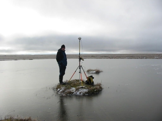
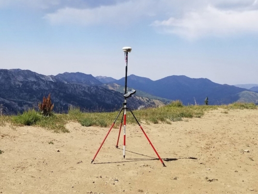
Deliverables with each Ground Control Points from the CompassData archive includes a coordinate file containing Lat/Long/Elevation, projected Easting, Northing and Metadata, in either text or spreadsheet format. Support for common standard coordinate systems and geodetic datum conversions are available. Delivery also includes:
- Accuracy Report
- Image chip showing Ground Control Point (GCP) collection location
- Site sketch drawn by the surveyor
- Digital site photos showing survey setup. Close up and 4 cardinal directions
- Geofiles: ESRI shapefiles and Google Earth KML
Photo-ID Ground Control Points (GCPs)

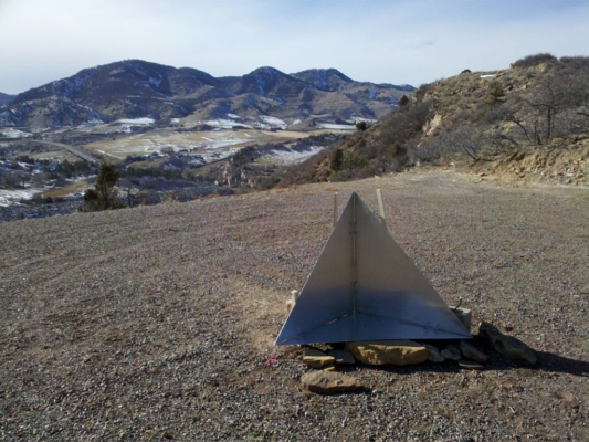
Archive ground control available off-the-shelf to support production and QA/QC of imagery and LiDAR products.
Lidar NVA Control

CompassData Archive Ground Control Points (GCPs) can be used for NVA LiDAR control for LiDAR data production and QA/QC activities without going to the field with off-the-shelf data.
Airport Photo-ID Ground Control Points (GCPs)

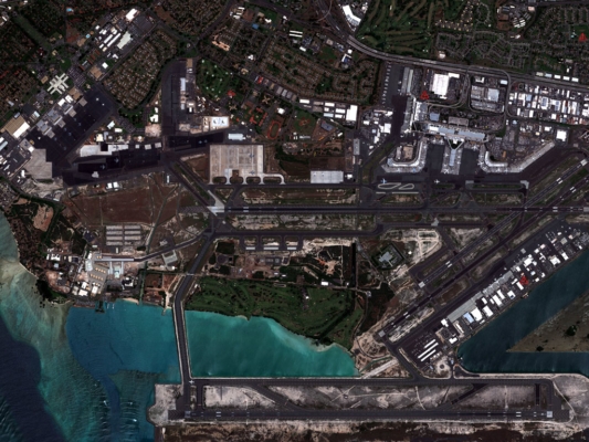
CompassData Ground Control Points (GCPs) archive includes clusters of Ground Control Points (GCPs) that are strategically located near over 1,100 airports across the globe. These Ground Control Points (GCPs) are processed via FAA-DO 200A process to support authoritative and commercial image production for aerodromes around the world.
Remotely Sensed Ground Control Points®

Remotely Sensed Ground Control Points (RSGCP®) are derived from Synthetic Aperture Radar (SAR) sensor technology or imagery products to enable photo-ID control with RS-1 Precision ≤ 1m or RS-2 Precision ≤ 3m. RSGCPs are an option for photo control without sending a surveyor to the field in areas that are politically or logistically challenging.
 CompassData, Inc.