Ski & Resorts

Providing Ski Resorts a Highly ACCURATE Geospatial Foundation
- Aerial Photography
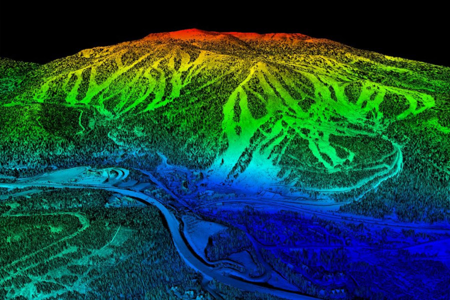
- Aerial LiDAR
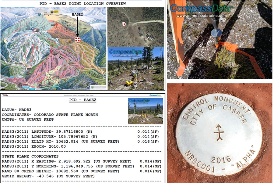
- Ground Control and Checkpoint Surveying
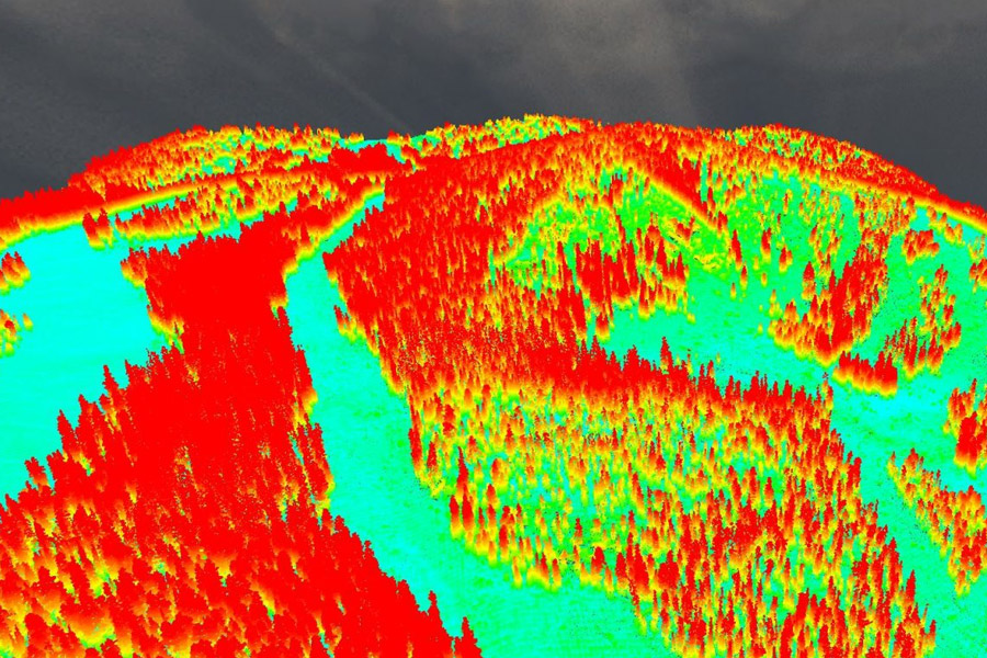
- Classified LiDAR Returns
- Aerial Triangulation
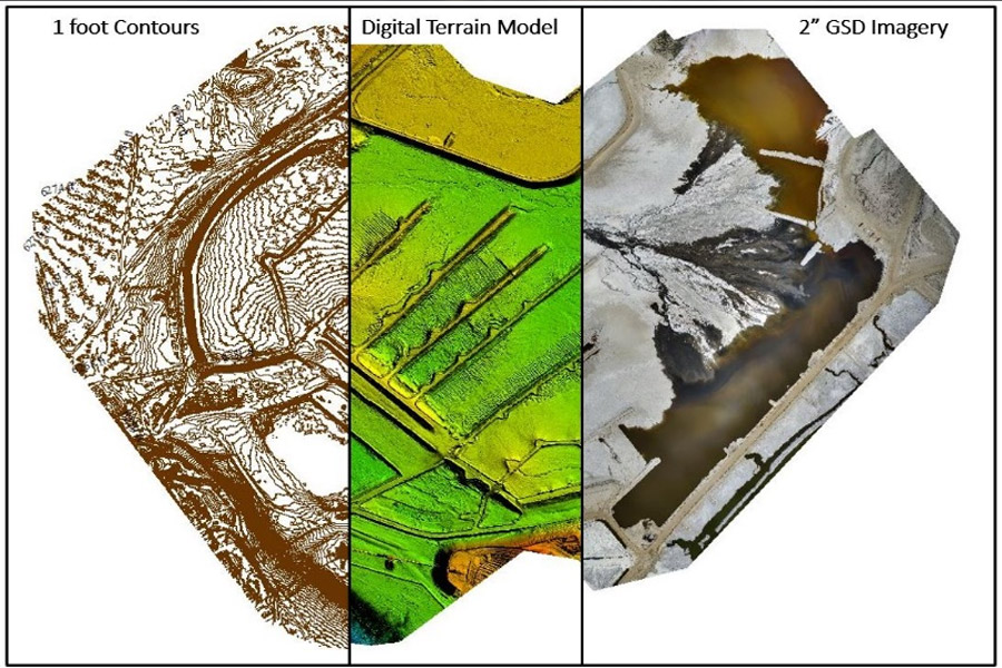
- Digital Orthophotography
- Oblique Imagery
- Digital Elevation Model (DEM)
- Digital Terrain Model (DTM)
- Topographic/Contour Mapping
- Planimetric Feature Mapping
- Mobile Mapping
Survey Grade Ground Control Point Collection
Control points & Check points
Base Stations
Survey GNSS receivers (base stations) used during aerial acquisition to enhance the triangulated network used for IMU processing
Permanent Monumentation for Future Projects
Used by customer for future projects and will tightly align with all foundation data provided

Deliverables


- Survey:
- Base Station Coordinates
- Monuments
- Control/Check Point
- LiDAR:
- SNOWsat Compatible XYZ Points
- DTM in LAS and Geotiff Format
- DSM in LAS and Geotiff Format
- Classified Point Cloud
- Imagery:
- Merged/Orthomosaic in SID Format
- Individual Georeferenced Images
- Oblique imagery with appropriate MetaData for ingest into Orbit or like viewer
- Contours:
- 2’ smoothed
- Corrected utilizing break lines
- Planimetric Data:
- Structures per customer requirements in shapefile format
- Accuracy Reports:
- CompassAA generated accuracy reports
- CompassTA, generated accuracy reports
- License of the CompassAA & CompassTA software
- CompassAA generated accuracy reports
"Establishing the ACCURACY Baseline"

 CompassData, Inc.