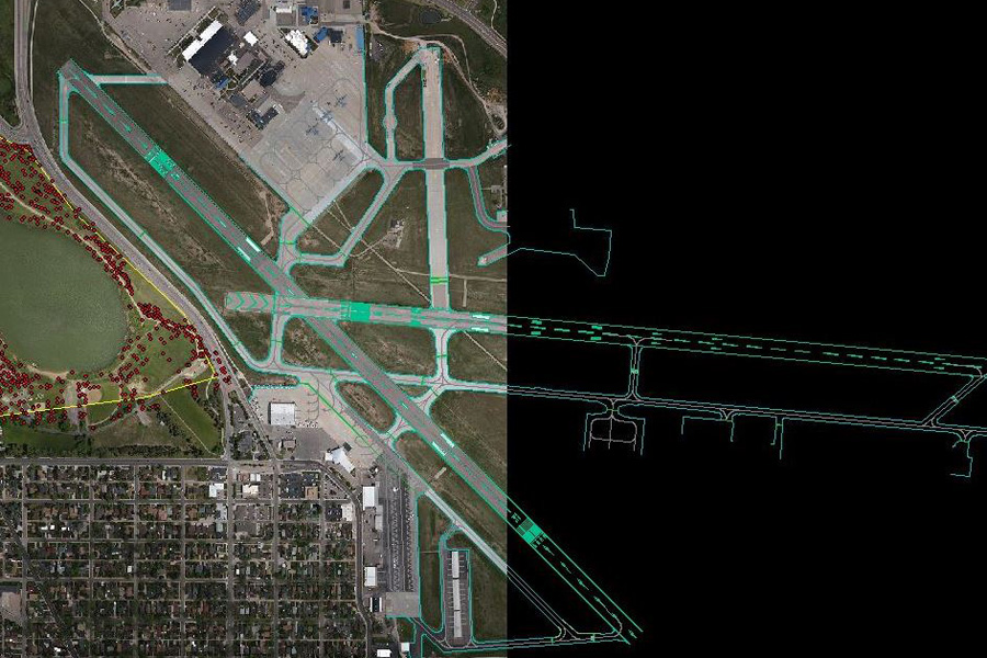
Global Airport Imagery Archive
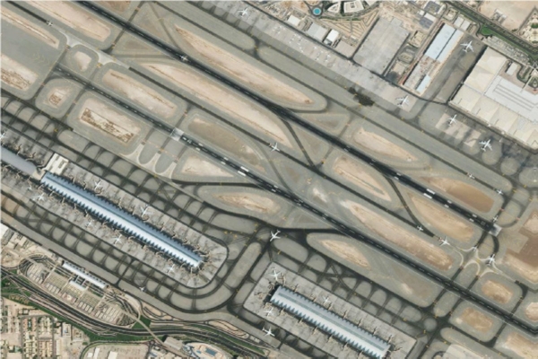
Core Deliverables
- Certified control point survey
- Certified Orthorectification processes
- Qualified Accuracy Tools
- FAA DO-200A Certification
- Digital Elevation Models (DEM)
- Digital Surface Models (DSM)
- Feature Digitization meeting RTCA and DO Standards
Airport Mapping Database (AMDB)
- Accurate (sub 1 meter)
- Cost Effective
- Global (Worldwide Solution)
- Customizable (meets custom requirements)
- Certifiable to your LOA Standards
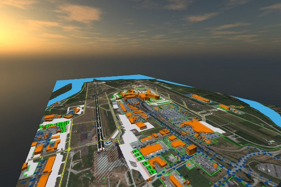
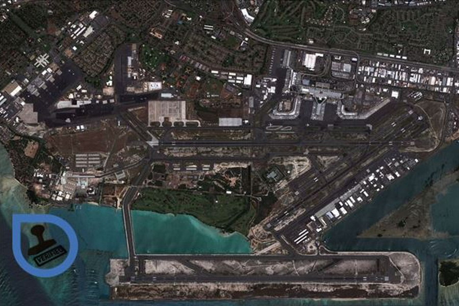
Airport Imagery
- Growing archive of over 700 FAA Certified submeter airports
- Submeter Accuracy using our survey grade ground control points
- Rapid access to “Off the Shelf” Imagery archive
- Quality product generation using certified processes
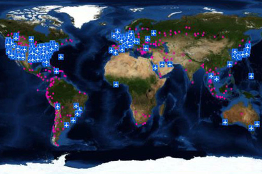
Ground Control for Airports
- Access the World’s largest Commercially Available Ground Control Point Archive
- Greater than 60,000 worldwide Ground Control Points (GCPs) in the Archive Database
- Photo-ID Ground Control Points (GCPs)
- LiDAR NVA Control
- Airport Photo-ID Ground Control Points (GCPs)
- Remotely Sensed Ground Control Points (RSGCP)

 CompassData, Inc.